- Garden of Eden (Moderate)
If you’re looking for a scenic hike with stunning views and a serene atmosphere, the Garden of Eden hike in Henry Cowell State park, is definitely worth checking out. This hike is not only beautiful but also easily doable on the way to Santa Cruz.
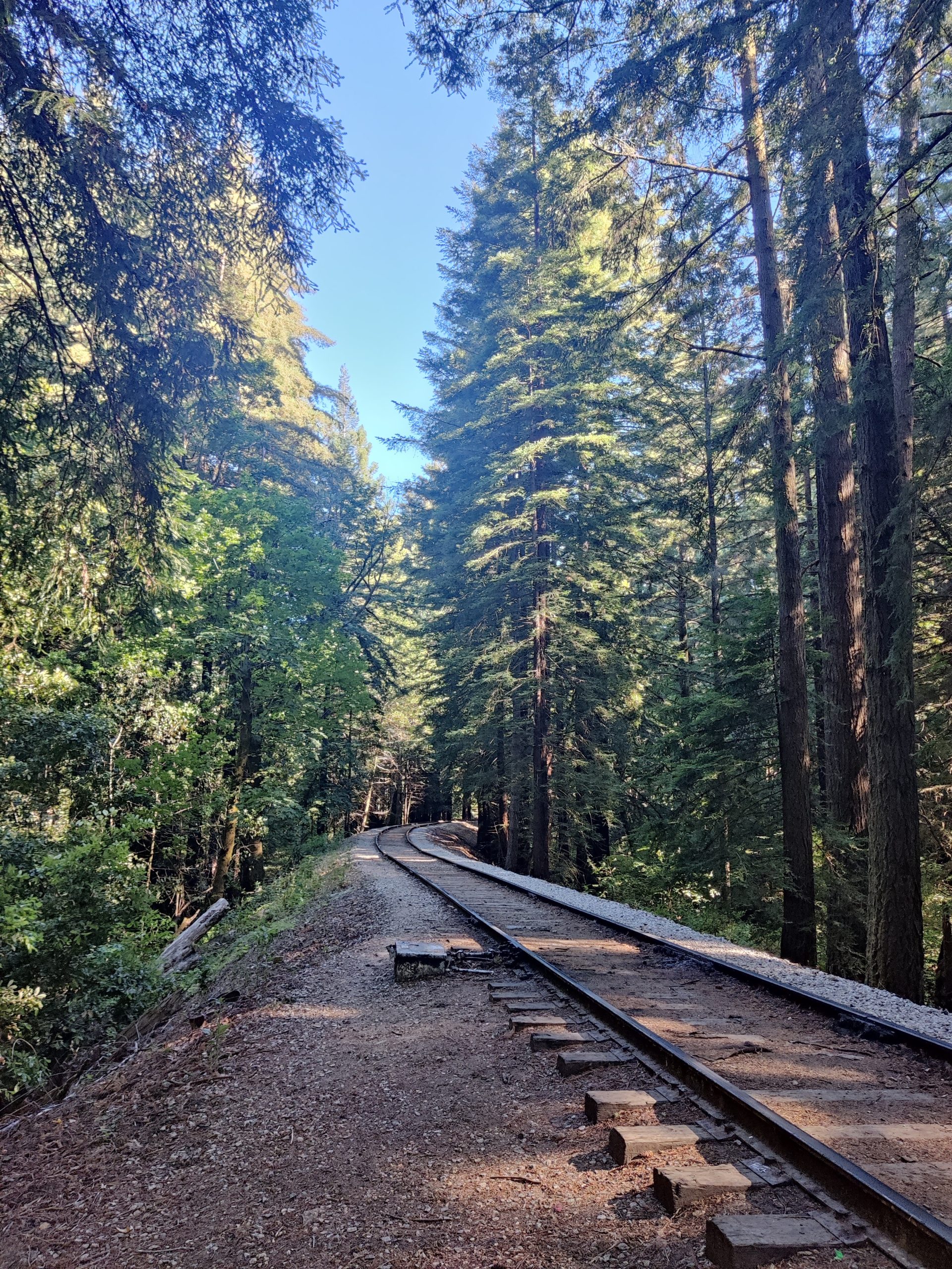
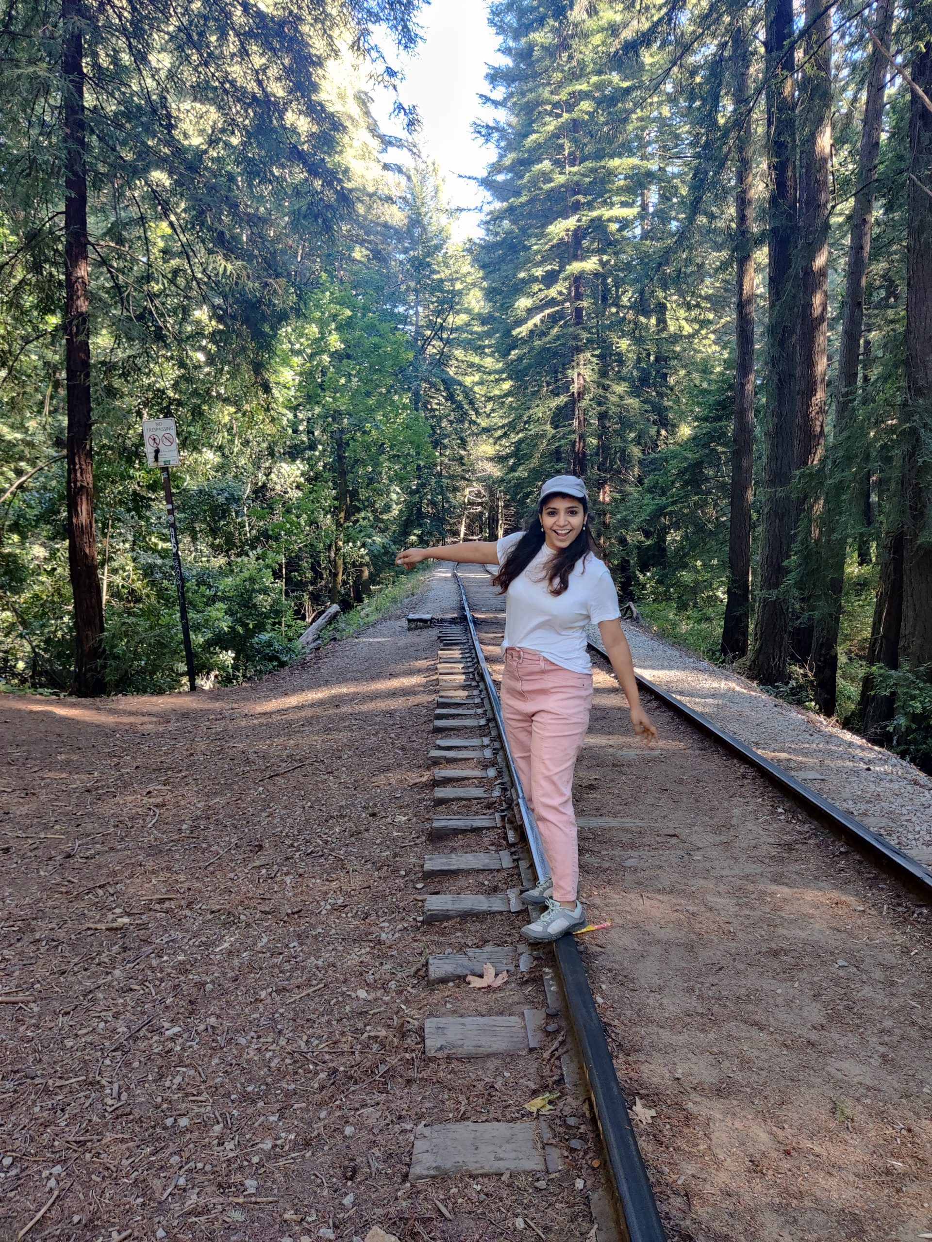
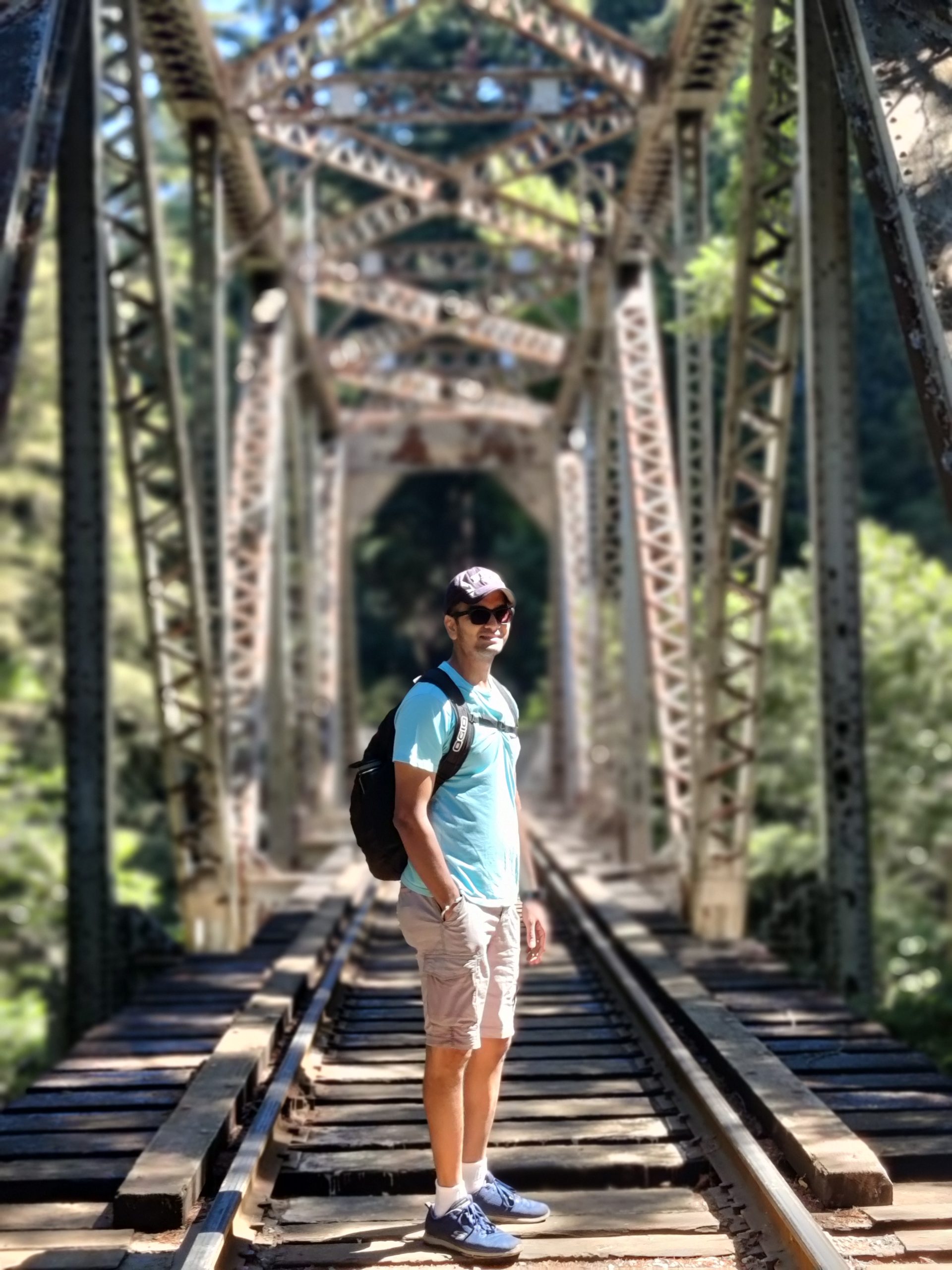
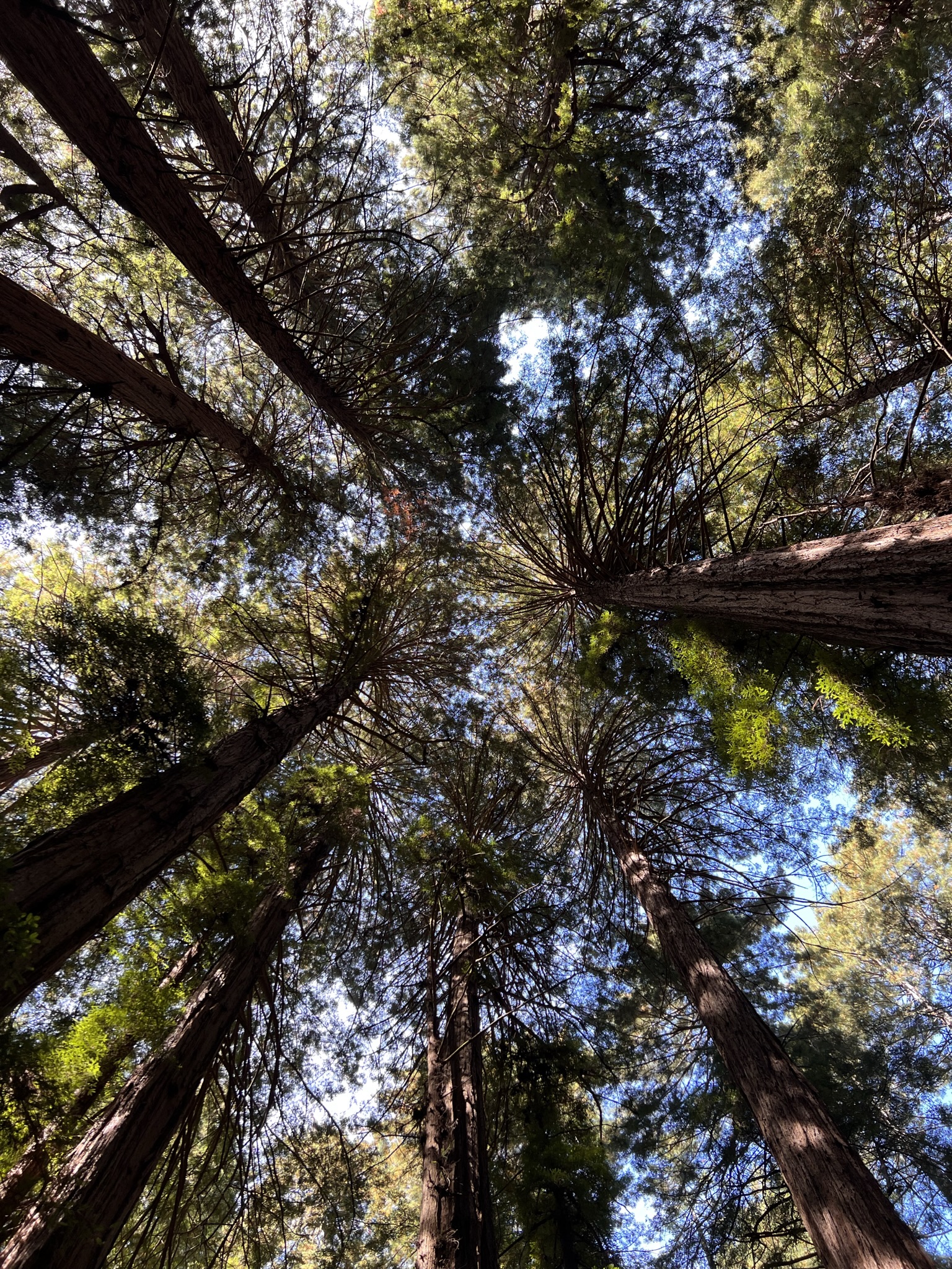
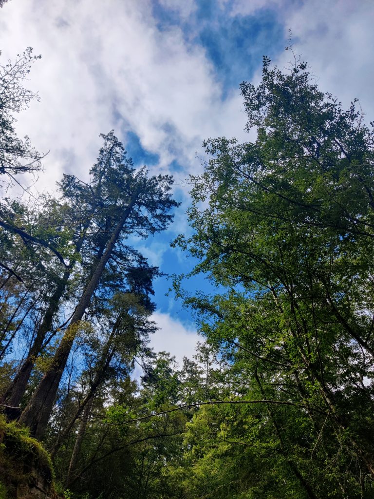
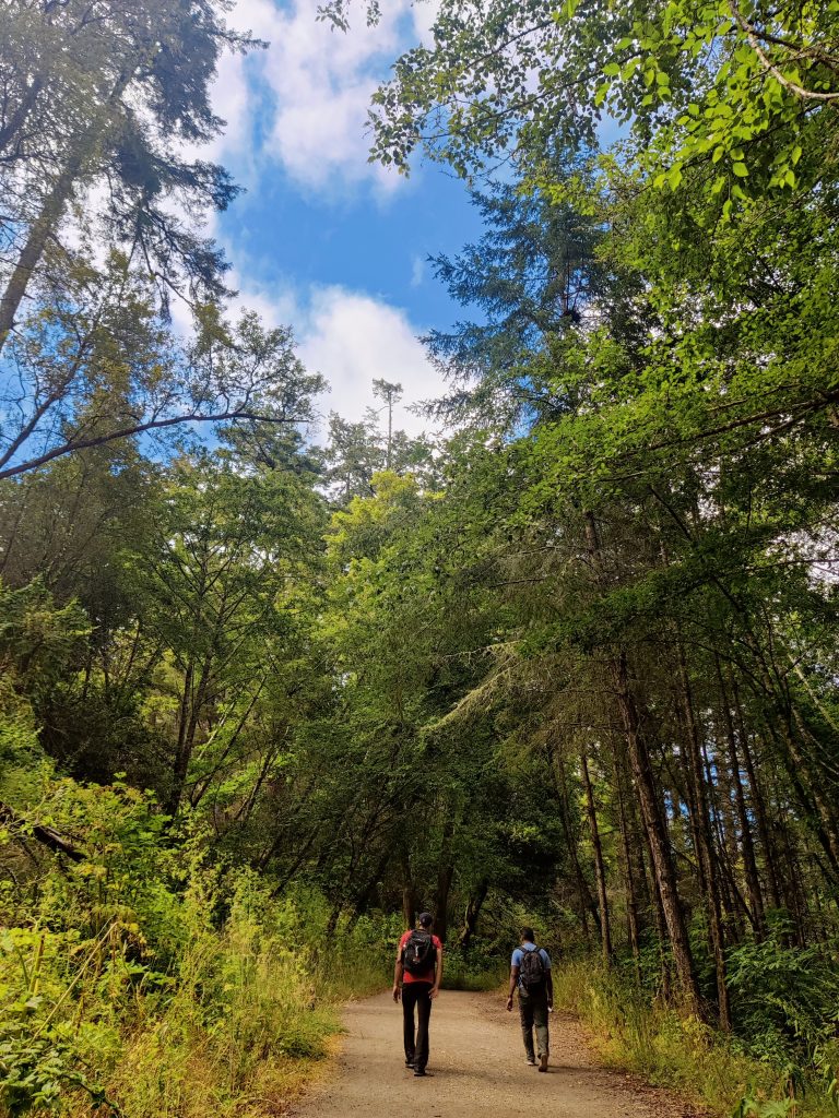
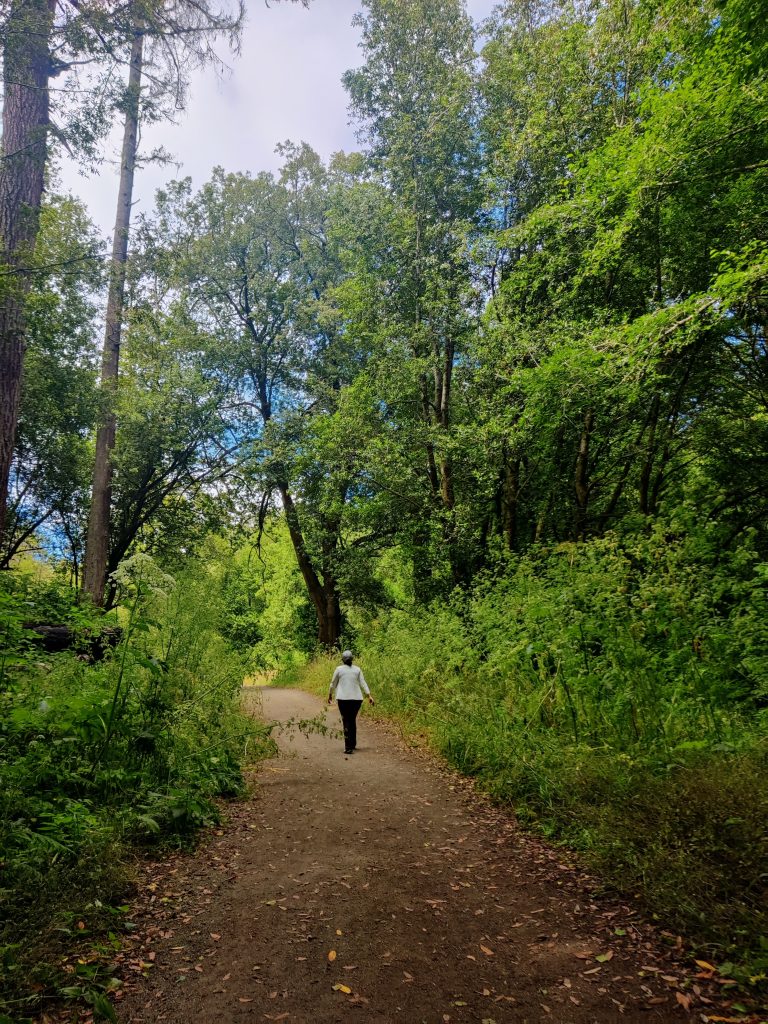
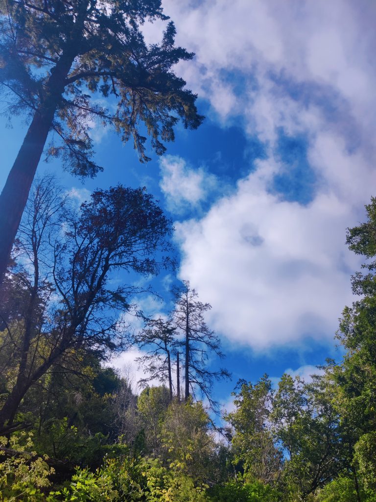
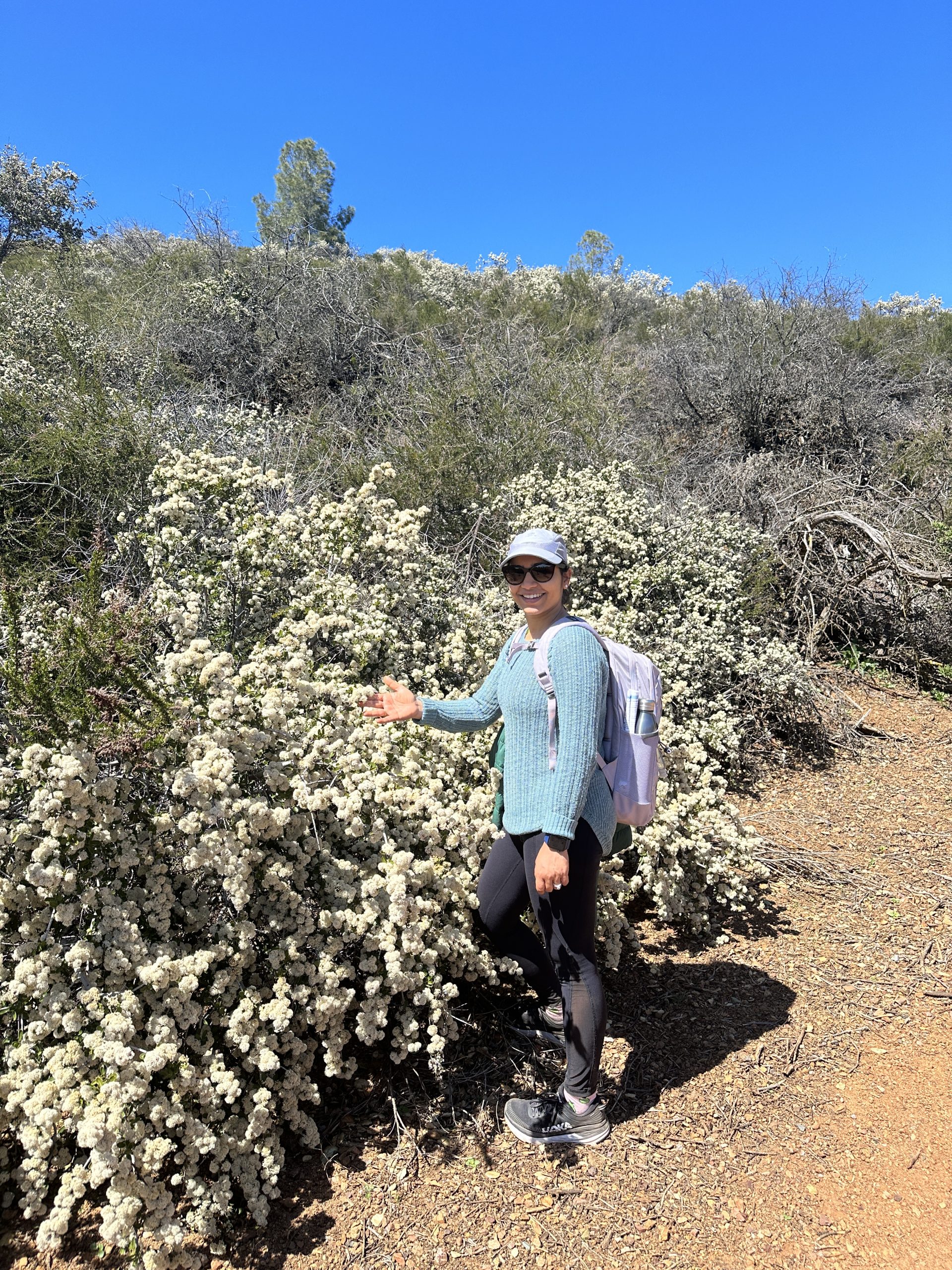
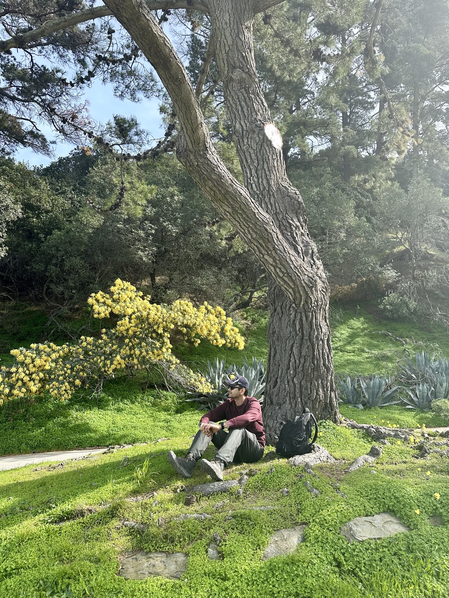
Located in the Santa Cruz Mountains, the Garden of Eden hike is named after a series of small waterfalls and swimming holes that resemble a tropical paradise. To reach this oasis, you’ll need to hike about 1.5 miles through a lush forest, over rocky terrain, and along a picturesque creek. The trail is moderate to difficult, with some steep inclines and tricky footing in certain areas, so be sure to wear comfortable shoes and bring plenty of water. If you get lucky you may also see a passing toy train which goes all the way to Santa Cruz.
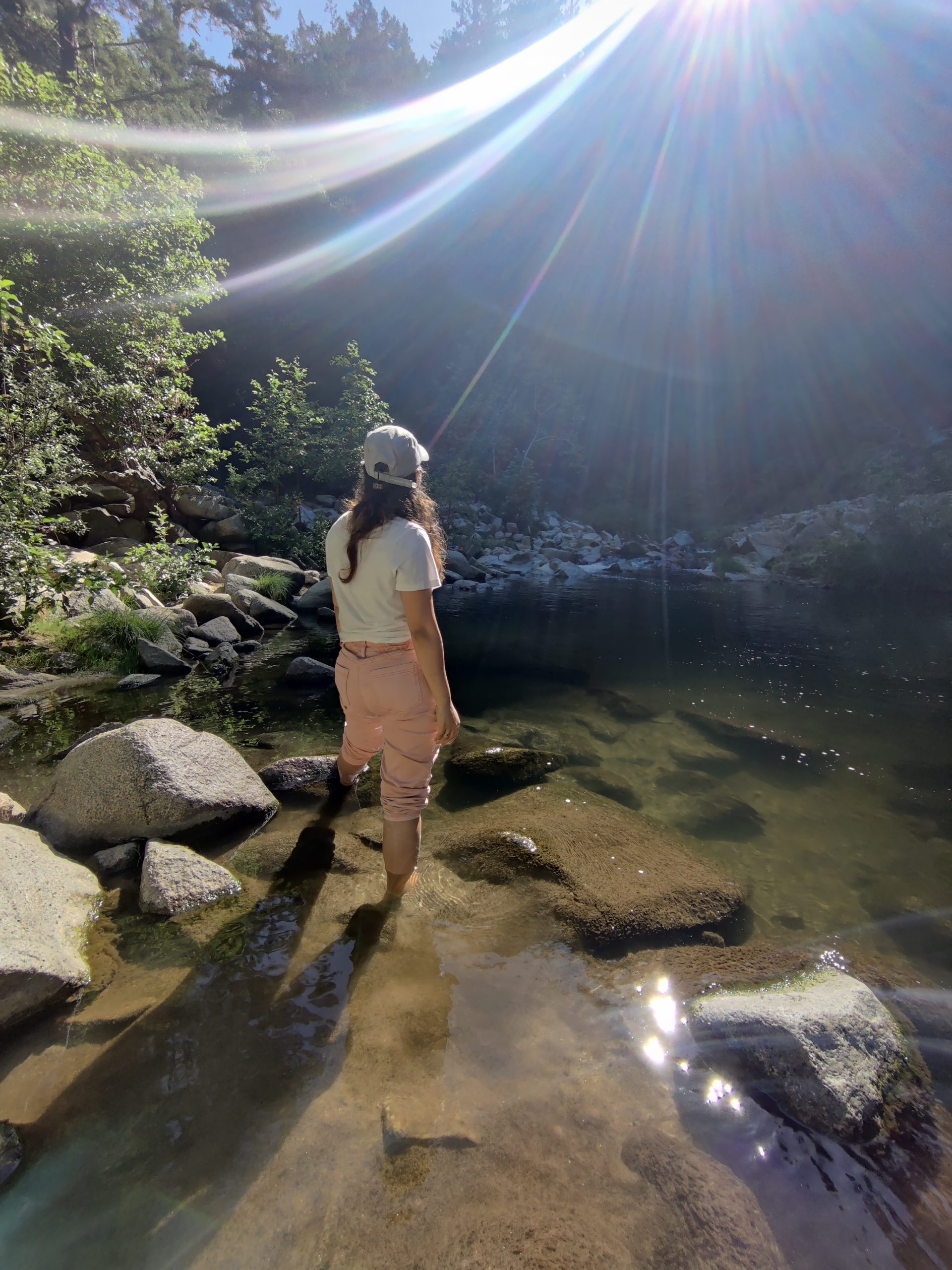
Once you reach the Garden of Eden, you’ll be rewarded with crystal clear pools of water surrounded by towering trees. We didn’t go prepared otherwise would definitely have taken a dip in the water. Entire hike stretch is covered with towering red woods, so you won’t feel any heat, good rejuvenating hike. On the way back we had a wonderful meal at Ullavacharu Tiffins in Santa Clara.
- Muir Woods National Monument (Easy)
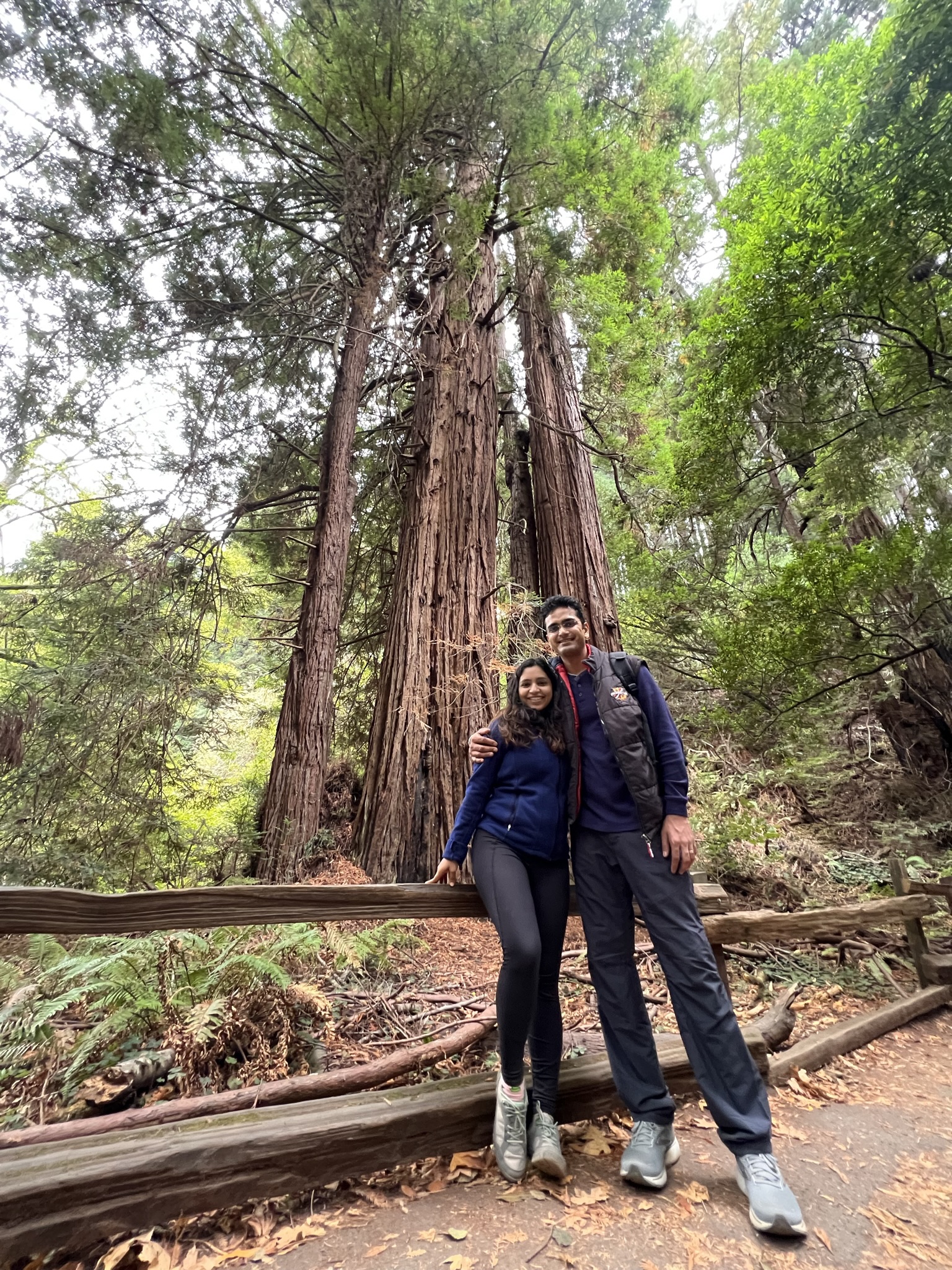
Muir Woods National Monument is a breathtakingly beautiful, forested area located just north of San Francisco, California. This can be clubbed with a trip to Golden Gate state park as you cross over the Golden gate bridge to visit here. We took the Muir woods shuttle from Larkspur landing ferry terminal, and it was a very comfortable & convenient option, but you can always take your own vehicle, although the parking is very limited and many boards on the way right from golden gate bridge will keep displaying the live status of parking. Named after naturalist and preservationist John Muir, this national monument is known for its towering old-growth redwood trees, some of which are over 1,000 years old. There are multiple hiking trails ranging from easy to moderate in difficulty, making it a great destination for families, hikers, and nature enthusiasts alike. One of the highlights of the park is the Cathedral Grove, a grove of redwood trees that tower above visitors, creating a serene and awe-inspiring atmosphere.
- Point Reyes National Seashore (Easy to Difficult)
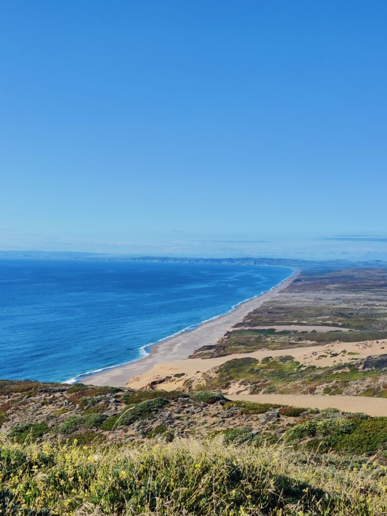
It is a must visit if you love watching over Pacific shore and want enough options of hiking trail from easy to difficult. One of the most popular hikes in the area is the Point Reyes National Monument Hike, which offers stunning views of the Pacific Ocean, the Marin Headlands, and the rugged coastline. We were in the mood to go a little longer so ended up doing the Sky trail & bear valley loop trail, it was a challenging 12.2 mile hike but the views made it all worth it. It took us through diverse landscapes, including grasslands, forests, and coastal bluffs.
As you make your way towards the coast, the trail opens up to stunning views of the Pacific Ocean and the rugged coastline. It’s worth noting that this hike can be challenging, especially on hot days, as there is little shade along the trail. Additionally, the trail can be quite muddy in the winter months, so be sure to wear sturdy shoes and bring plenty of water. But if you’re looking for a challenging and rewarding hike in a stunning natural setting, head to Point Reyes.

- Mission peak (Moderate to Difficult)
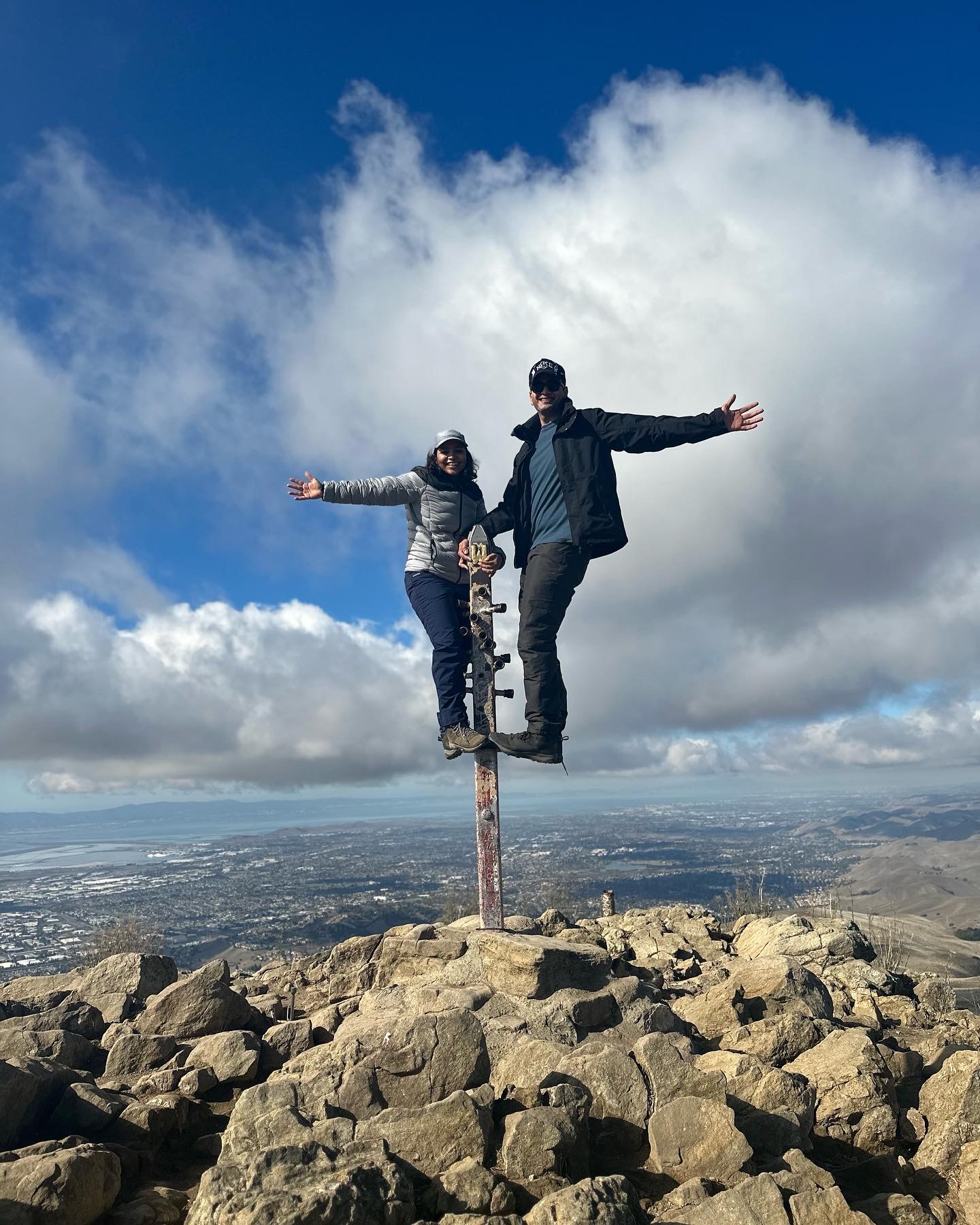
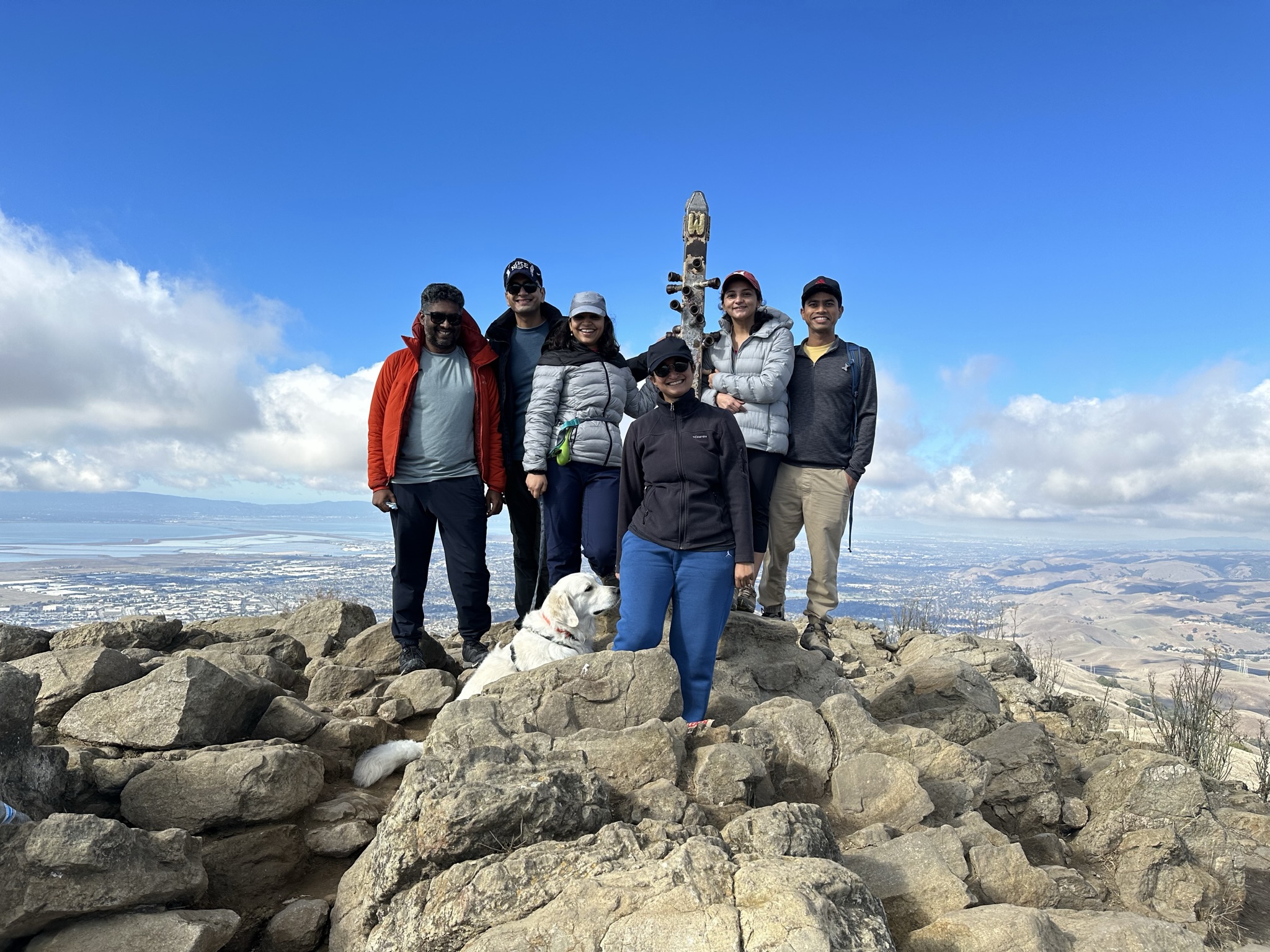
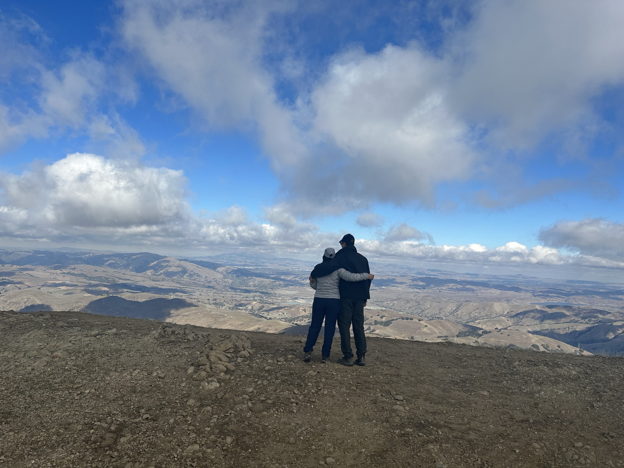
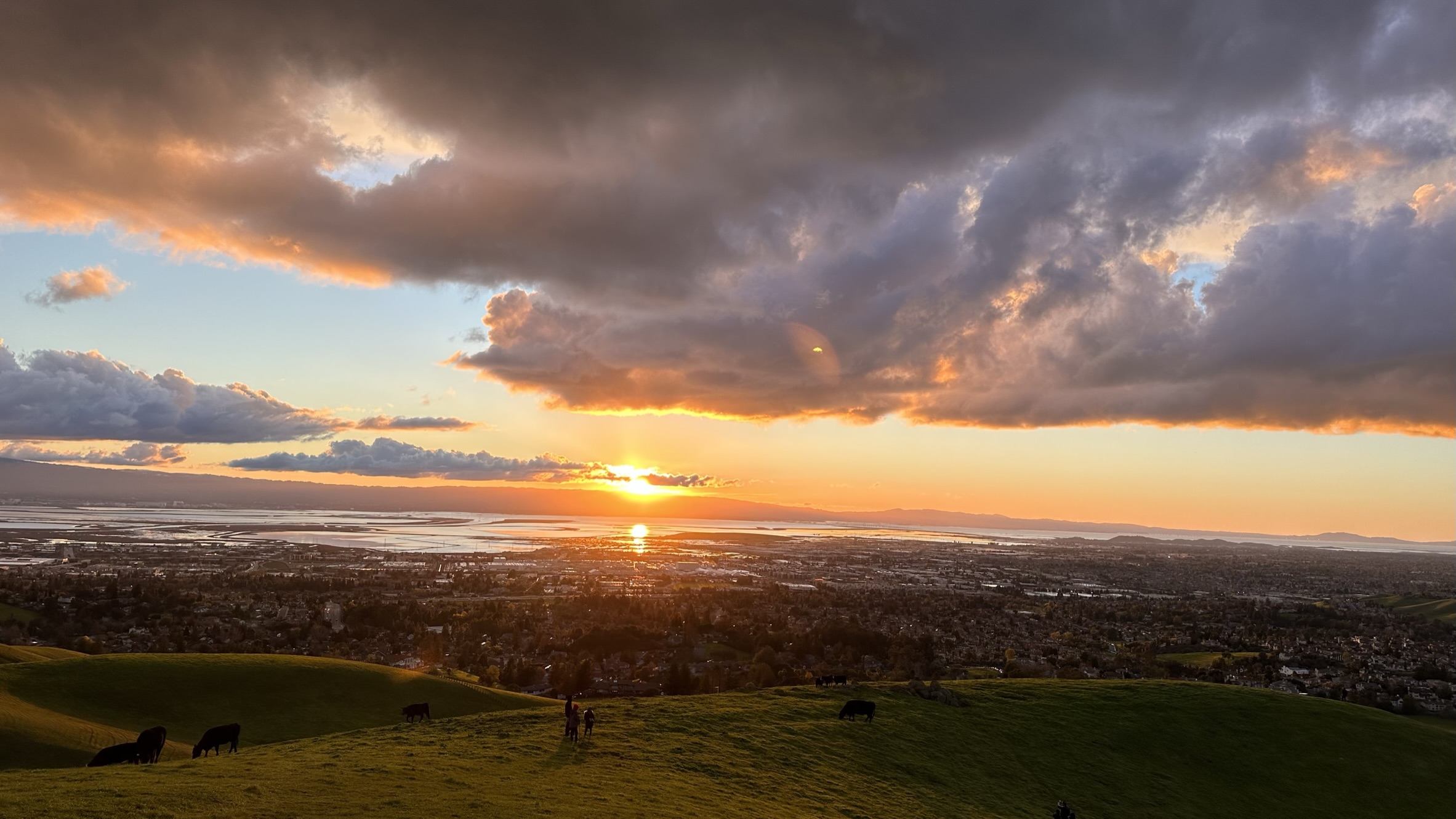
Mission peak is visible from our home and as soon as we shifted, we wanted to climb this peak and have done it twice in the last 6 months. If you’re looking for a challenging hike with stunning views, the Mission Peak Hike in Fremont, California is definitely worth adding to your list. This 6.2-mile round-trip hike offers a steep climb to the summit of Mission Peak, which reaches an elevation of 2,517 feet. The trail immediately starts climbing upwards, with steep switchbacks. While the climb can be challenging, the views of the Bay Area and the surrounding hills are well worth the effort. We hiked this both in the summers and the winter when it snowed and haven’t seen better panoramic view of the Bay Area, including the San Francisco skyline. This is a great spot to take a break, click photos at the pole before heading back down the mountain. It is a must do if you are a bay local.
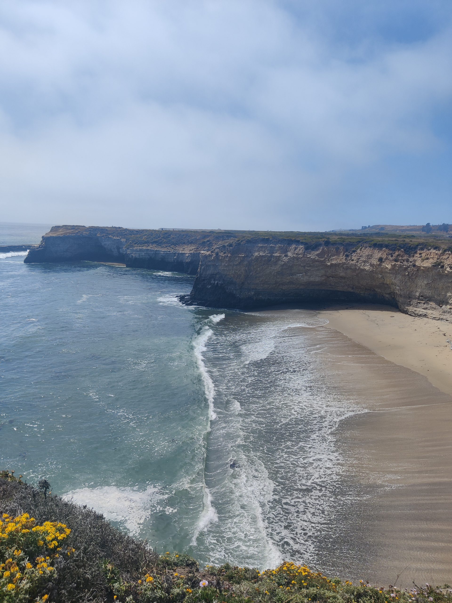
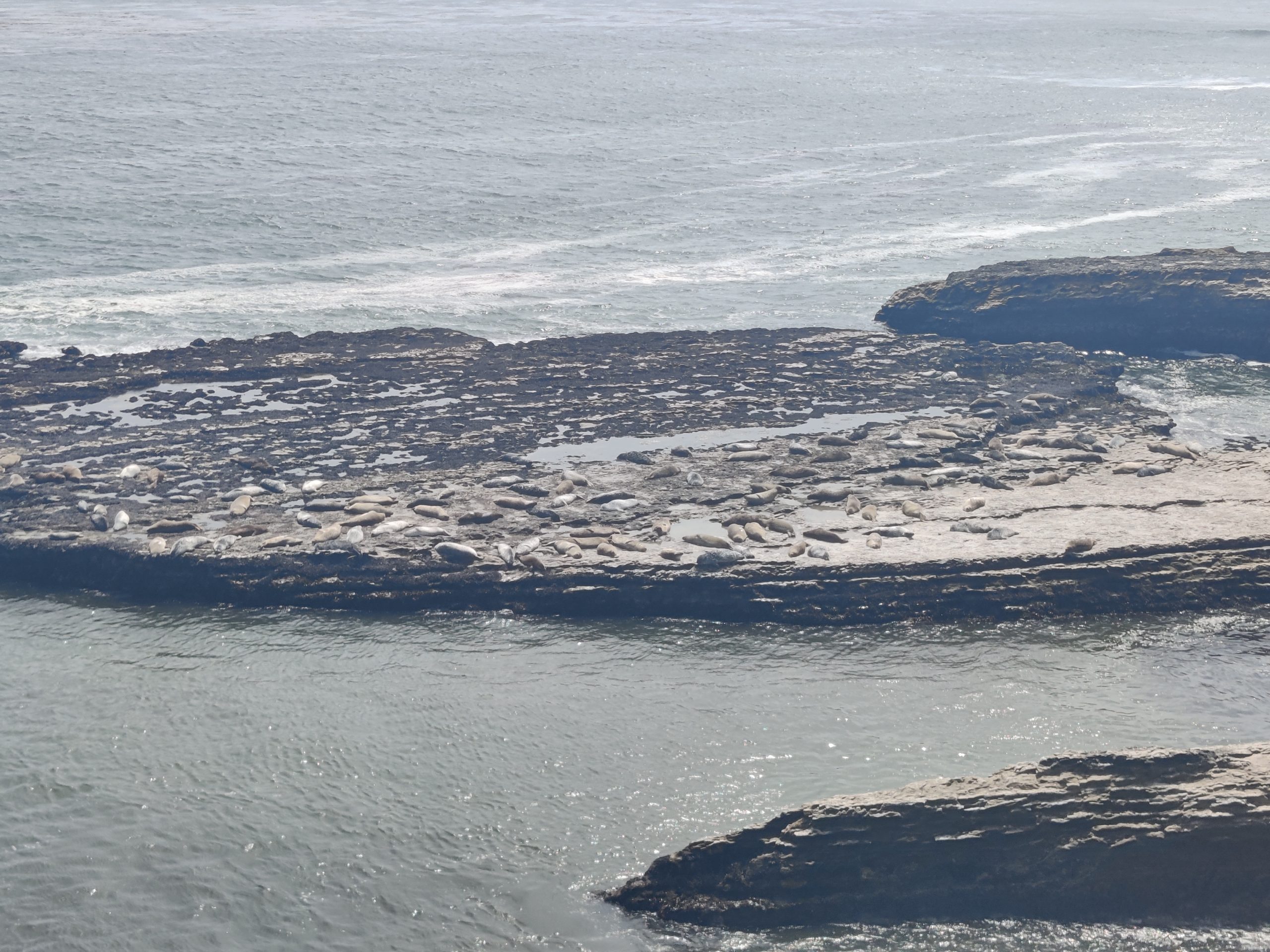
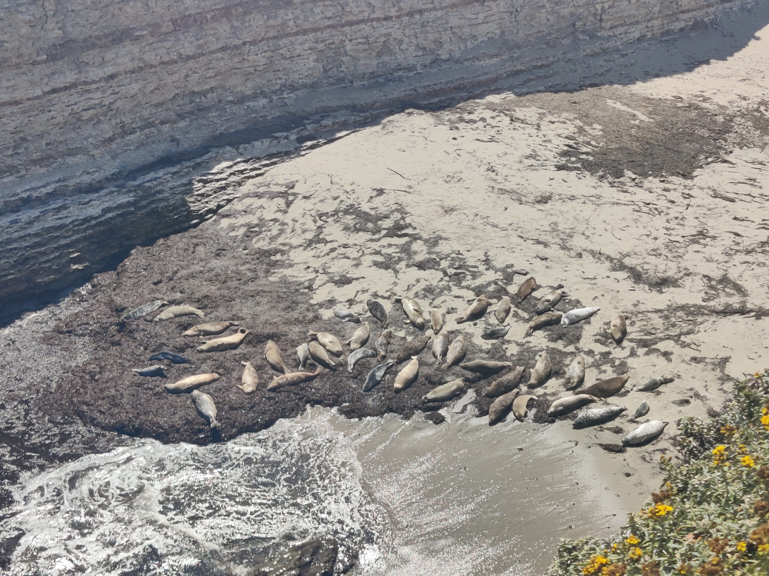
- Wilders Ranch (Moderate)
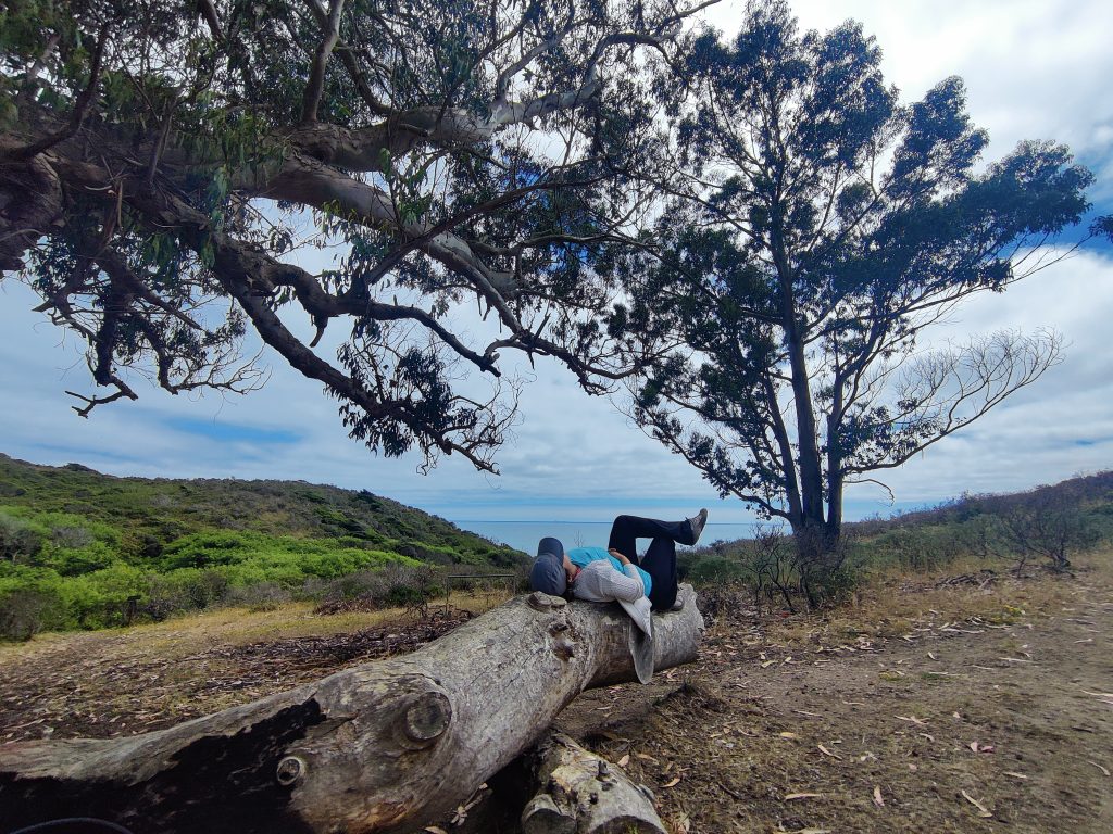
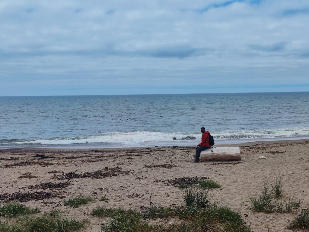
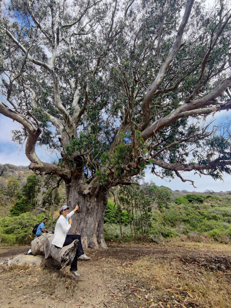
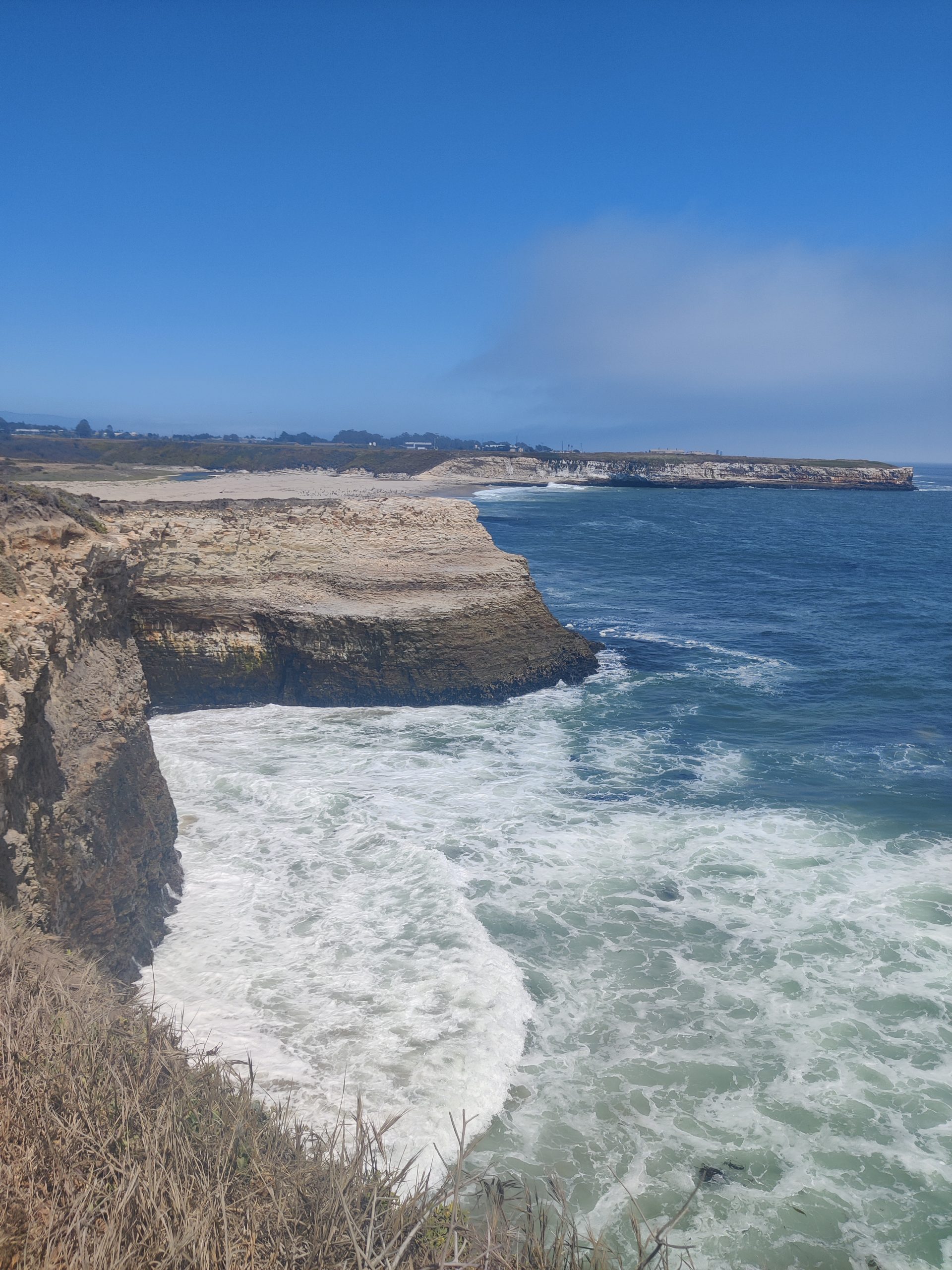
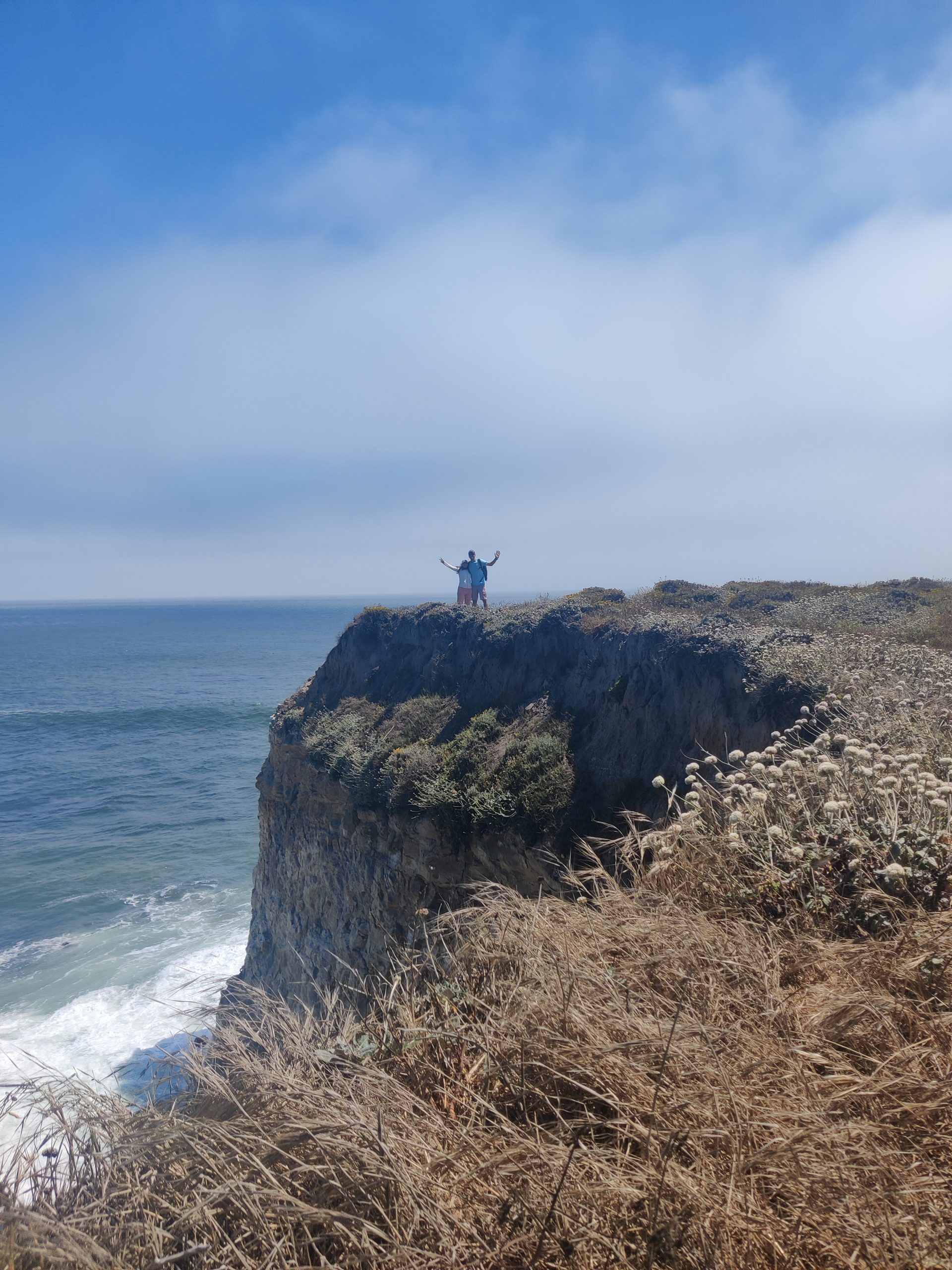
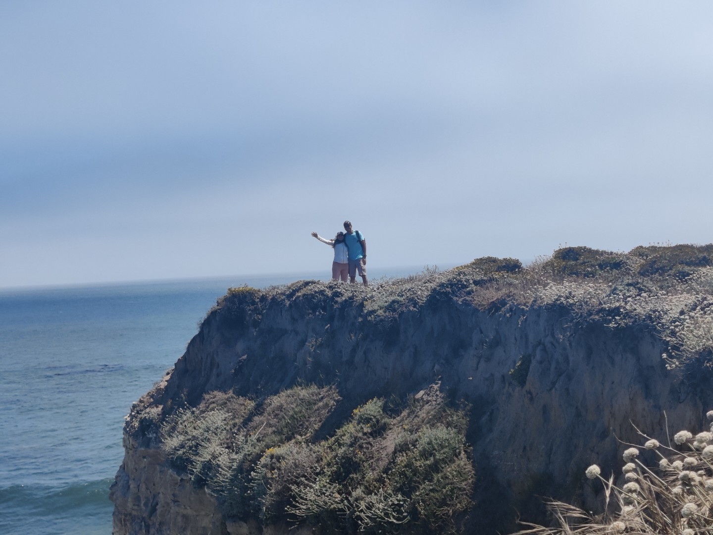
Wilder Ranch State Park is a stunningly beautiful coastal park located just north of Santa Cruz, California. Would recommend doing this if you are visiting the Santa Cruz area. We did the Wilder Ranch Hike along with garden of Eden & Santa Cruz boardwalk, so it became bit tiring in the end. But if you are doing just this it is a moderate 4-mile round trip hike that takes you through a beautiful landscape of coastal bluffs, fields, and you’ll spot a lot of sea lions from the top. However, the hike is not covered so avoid going in summers & peak UV times.
The trail starts at the Wilder Ranch Cultural Preserve and winds its way through the park, offering breathtaking views of the Pacific Ocean and the rugged coastline. You’ll also have the opportunity to explore the historic Wilder Ranch, a dairy farm that operated in the late 19th and early 20th centuries.
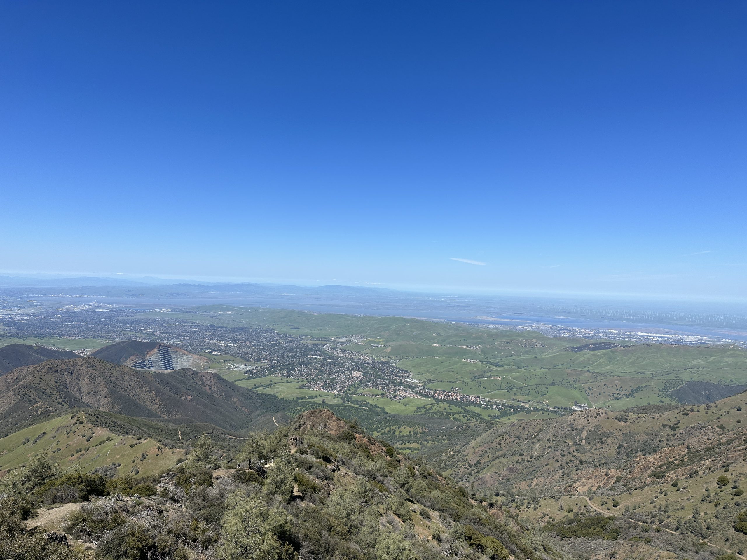
- Mt Diablo (Difficult)
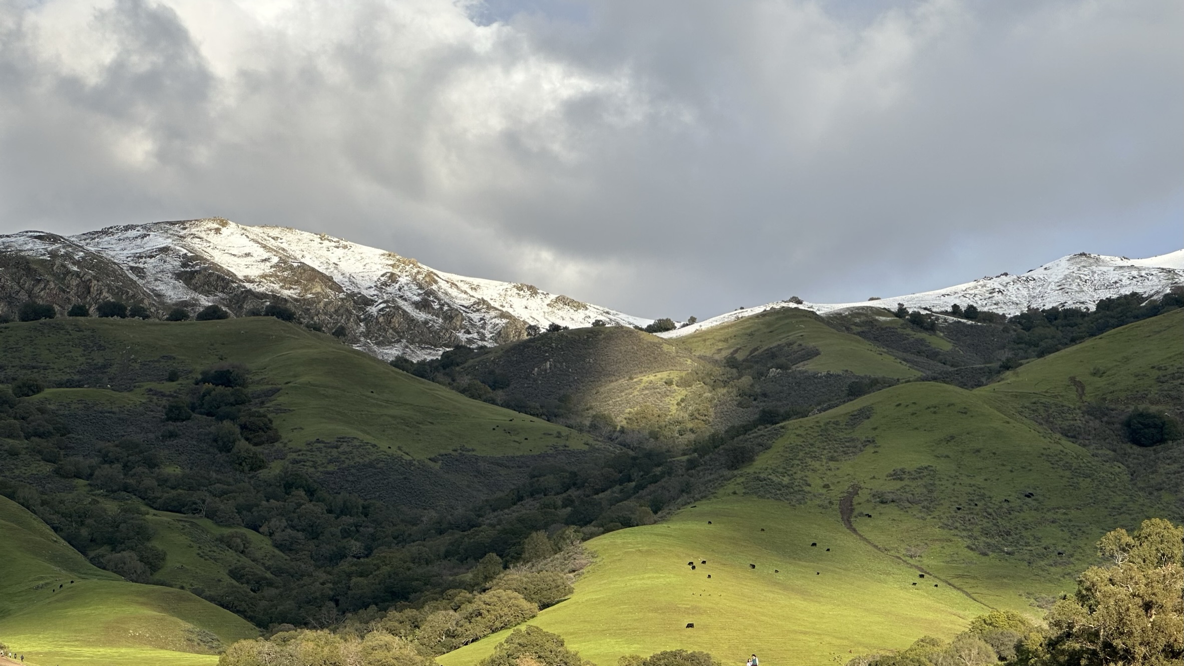
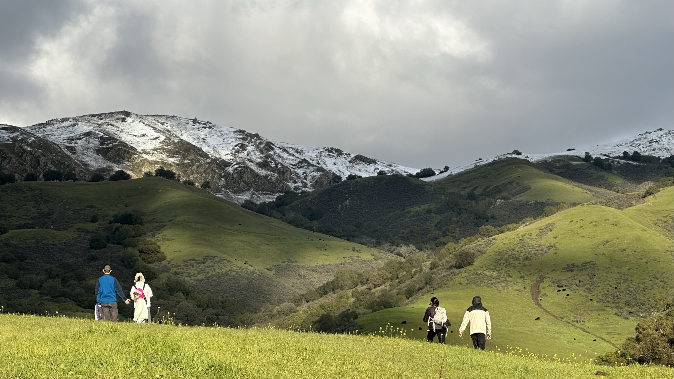
Mt Diablo is a prominent peak located in the East Bay area of California, rising to an elevation of 3,849 feet. We didn’t know this place was also very popular for biking until we saw many bikers throughout the way. We did the Mt Diablo Summit Trail, a popular 6.2-mile round-trip hike that leads to the summit of the mountain, offering stunning views of the surrounding landscape along the way. The trailhead is located at the Mitchell Canyon Visitor Center, which provides ample parking, restrooms, and drinking water. The trail starts out in a shaded canyon before ascending up the mountain with a steady incline. Unlike the other hikes this hike ends at the visitor center instead of starting from one. The summit has picnic tables, restrooms and the visitor center also sell ice cream. We took a quick break and made our way back via the Summit Trail, please note that this is a steep and rocky climb towards the top so not a beginner friendly hike at all.

- Angel Island State park (Easy to Moderate)
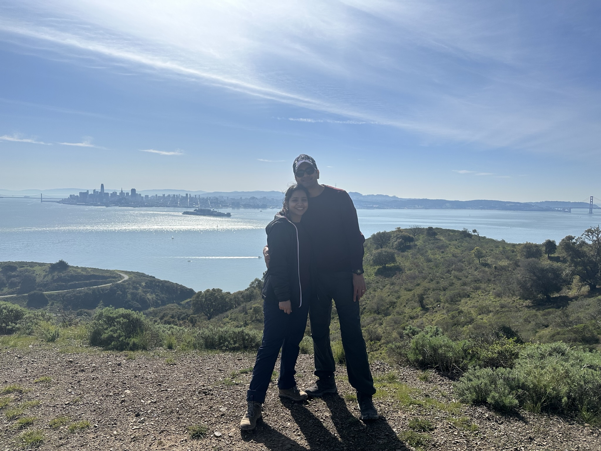
Angel Island is visible from the Ferry terminal and you need to take a ferry either from Ferry plaza or Tiburon to reach the island. We did the Perimeter road Trail is a popular 5.5-mile round-trip hike that circles the entire island, offering breathtaking views of the Golden Gate Bridge, the Bay Bridge, and the San Francisco skyline. The trail starts out with a steep incline before flattening out and offering panoramic views of the Bay. You’ll also have the opportunity to explore historic military buildings, including the Immigration Station, which served as the main processing center for Asian immigrants between 1910 and 1940. It’s worth noting that this hike can be challenging in some areas, with steep inclines and uneven terrain. Additionally, the trail can be hot and exposed during the summer months, so be sure to bring plenty of water and sunscreen. After the hike, would recommend you indulge in pastries at B Patisserie in San Francisco city.
- Brushy peak (Easy to Moderate)
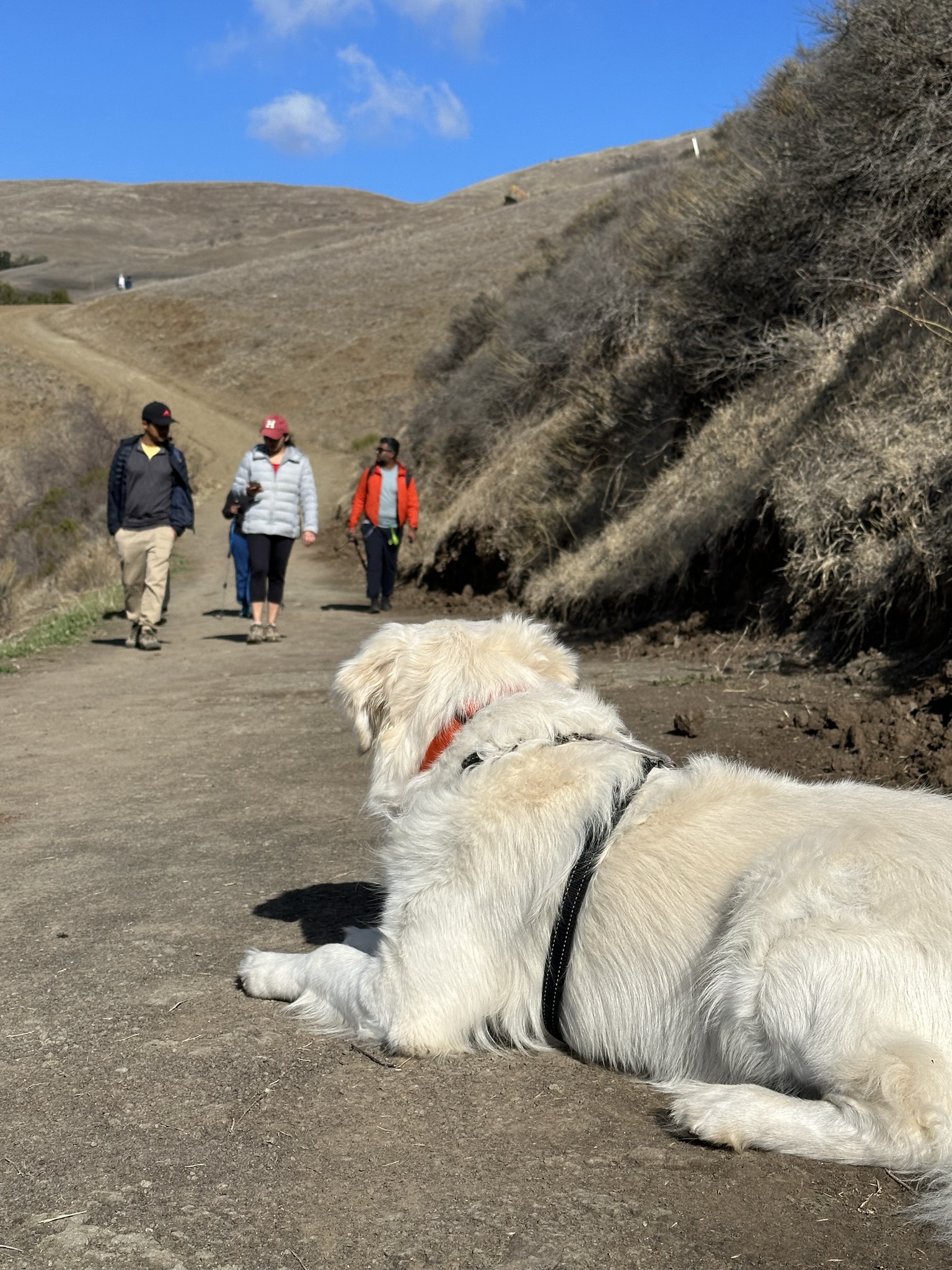
The Brushy Peak Regional Preserve is a hidden gem located in the Livermore Valley area of California. This beautiful preserve offers hikers a unique and challenging experience, with stunning views of the East Bay hills and a lot of Windmills all around. We did the Brushy Peak Loop Trail, a 4.5-mile round-trip hike that takes visitors up to the summit of Brushy Peak, offering breathtaking views of the surrounding area. We could spot the snow-covered Mt Diablo from the peak. The Brushy Peak Loop Trail can be challenging in some areas, with steep inclines and uneven terrain. Additionally, the trail can be hot and exposed during the summer months, so be sure to bring plenty of water and sunscreen. We went to Idly express in Fremont after this hike for a good sumptuous South Indian Meal.
- Dry creek regional preserve (Easy to Moderate)
The Dry Creek Regional Preserve is a beautiful and secluded hiking destination located in the East Bay hills of California. We did the Dry Creek Loop Trail, a 3.3-mile round-trip hike that takes visitors through the heart of the preserve. It is good to visit during the winter months, since it is not covered summers can be really challenging. We went in Aug, it was ok weather wise but very dry, after the hike we went to the Hayward Gurudwara and had Langar which was a blessing. 🙂
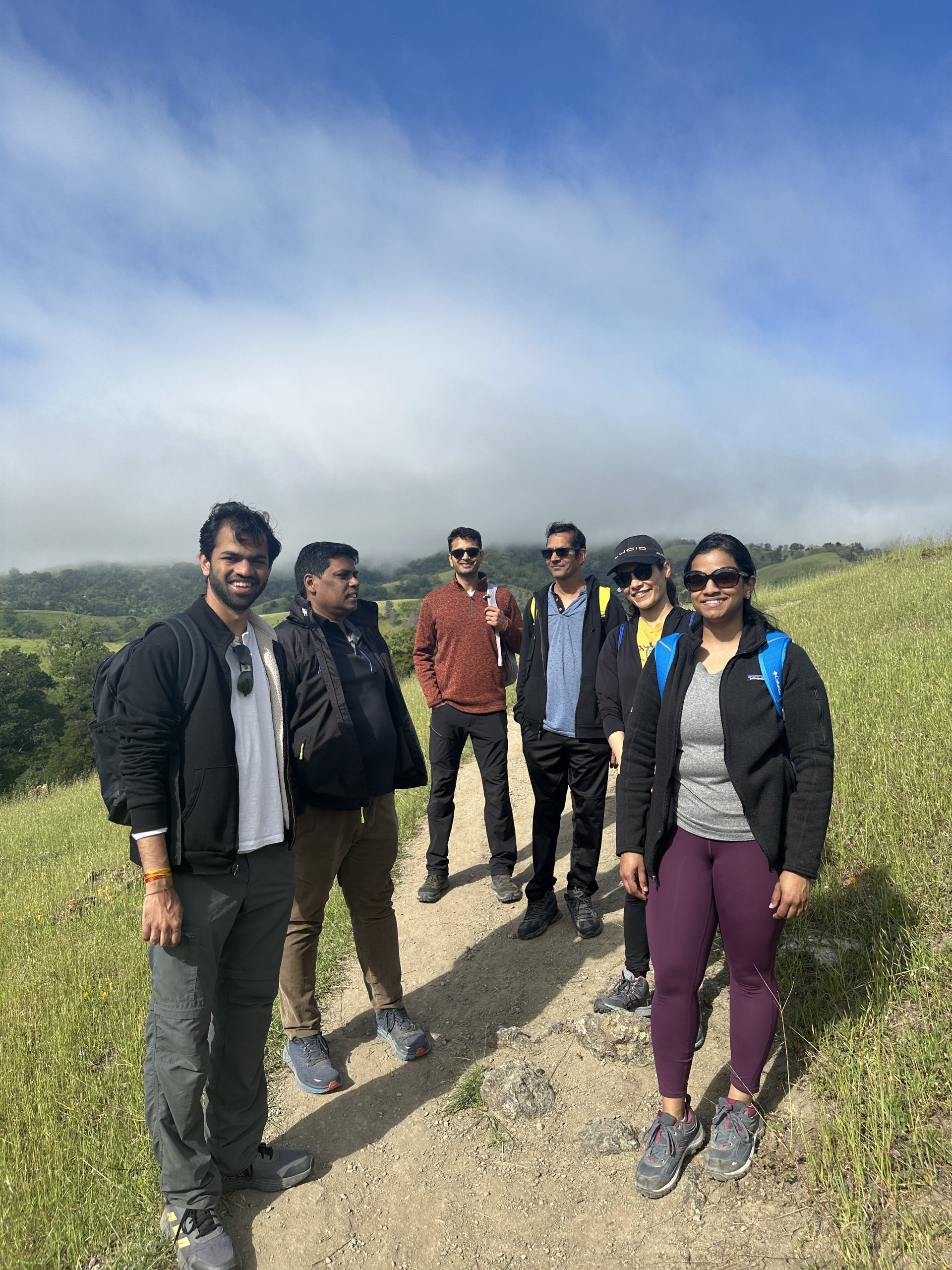
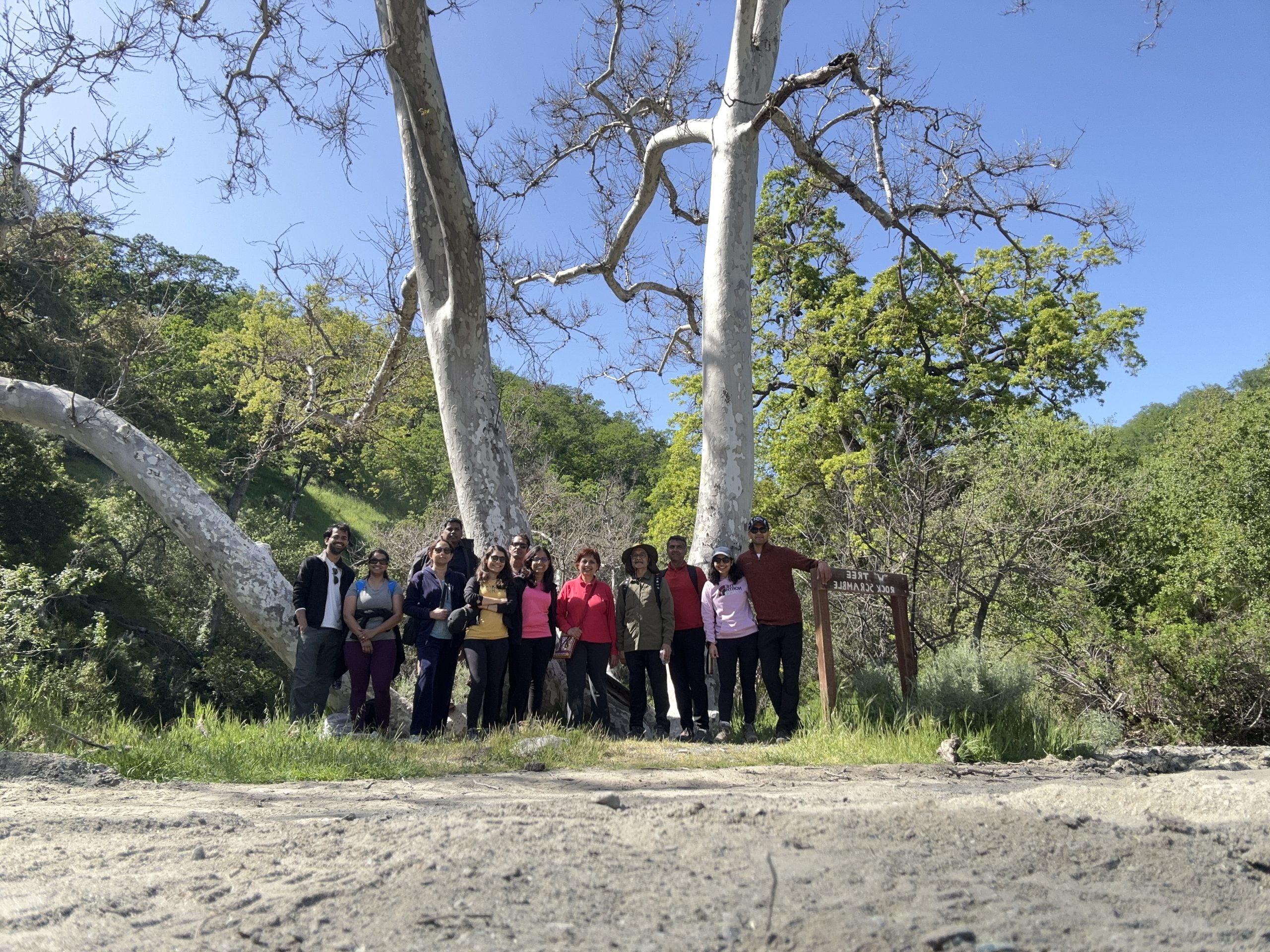
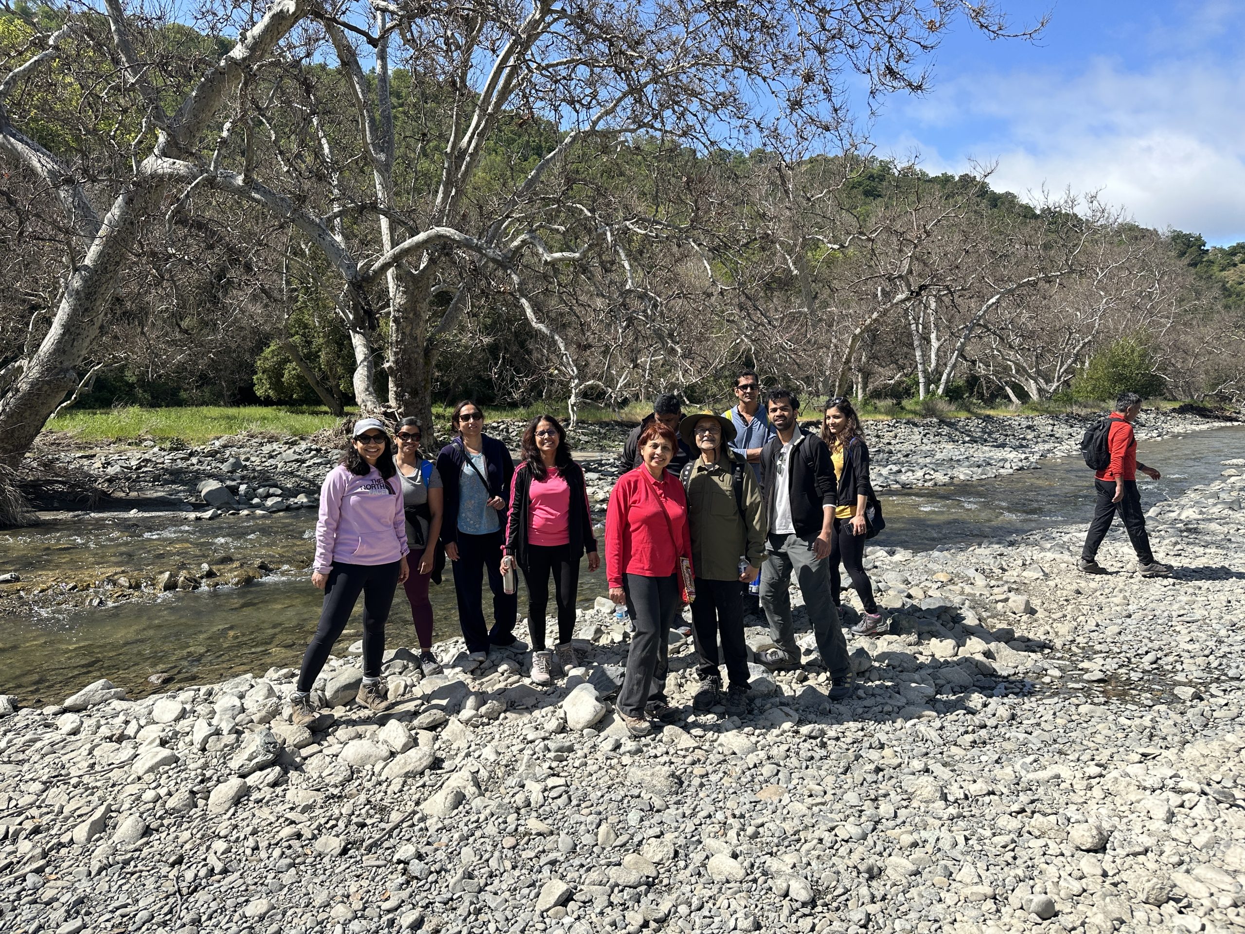
- Little Yosemite (Easy)
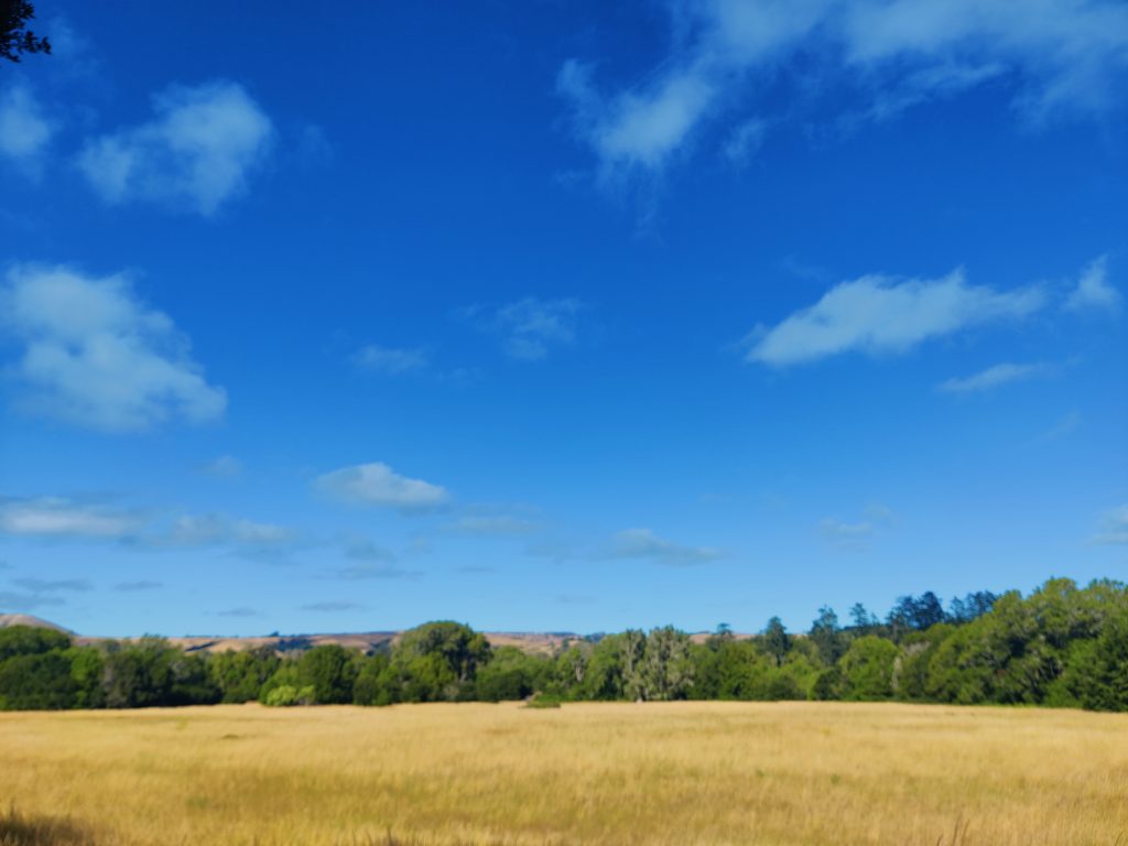
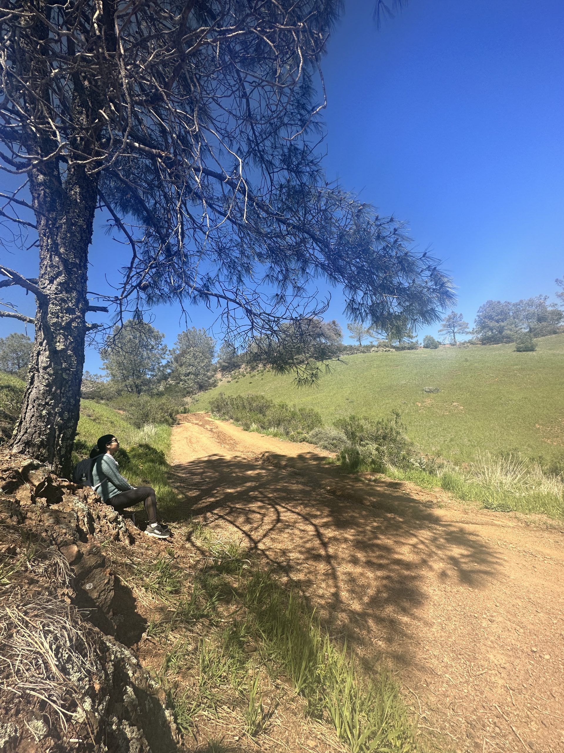
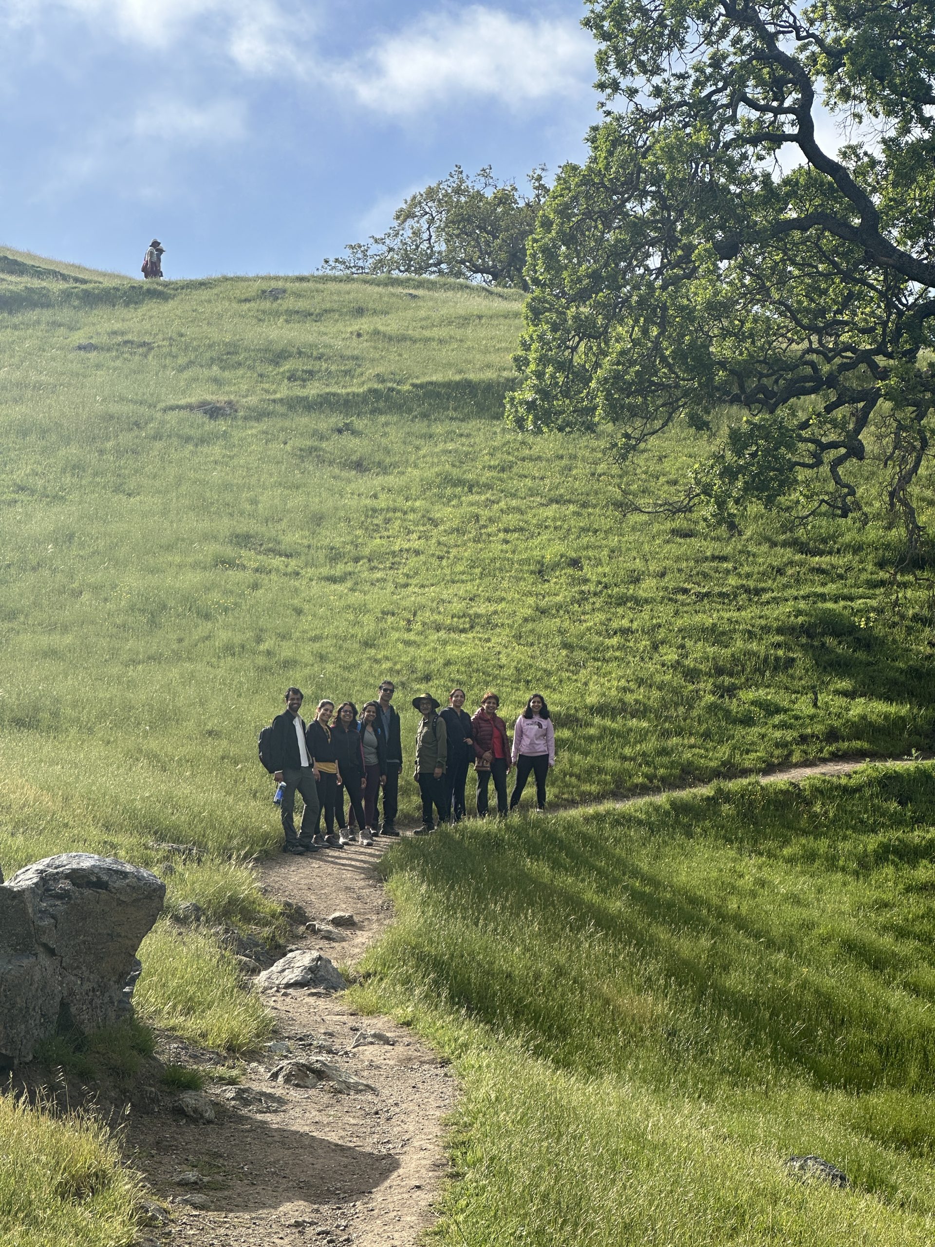
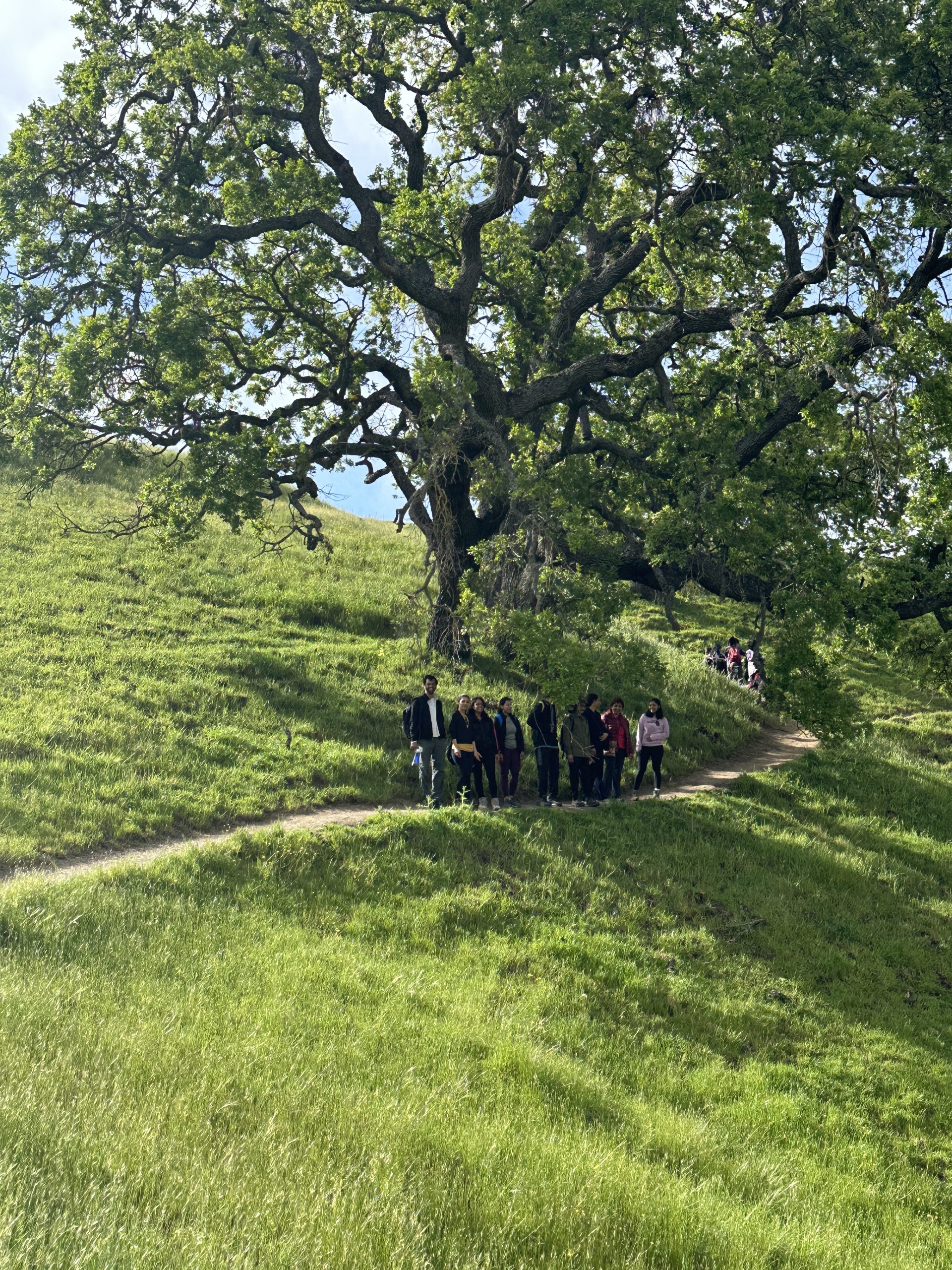
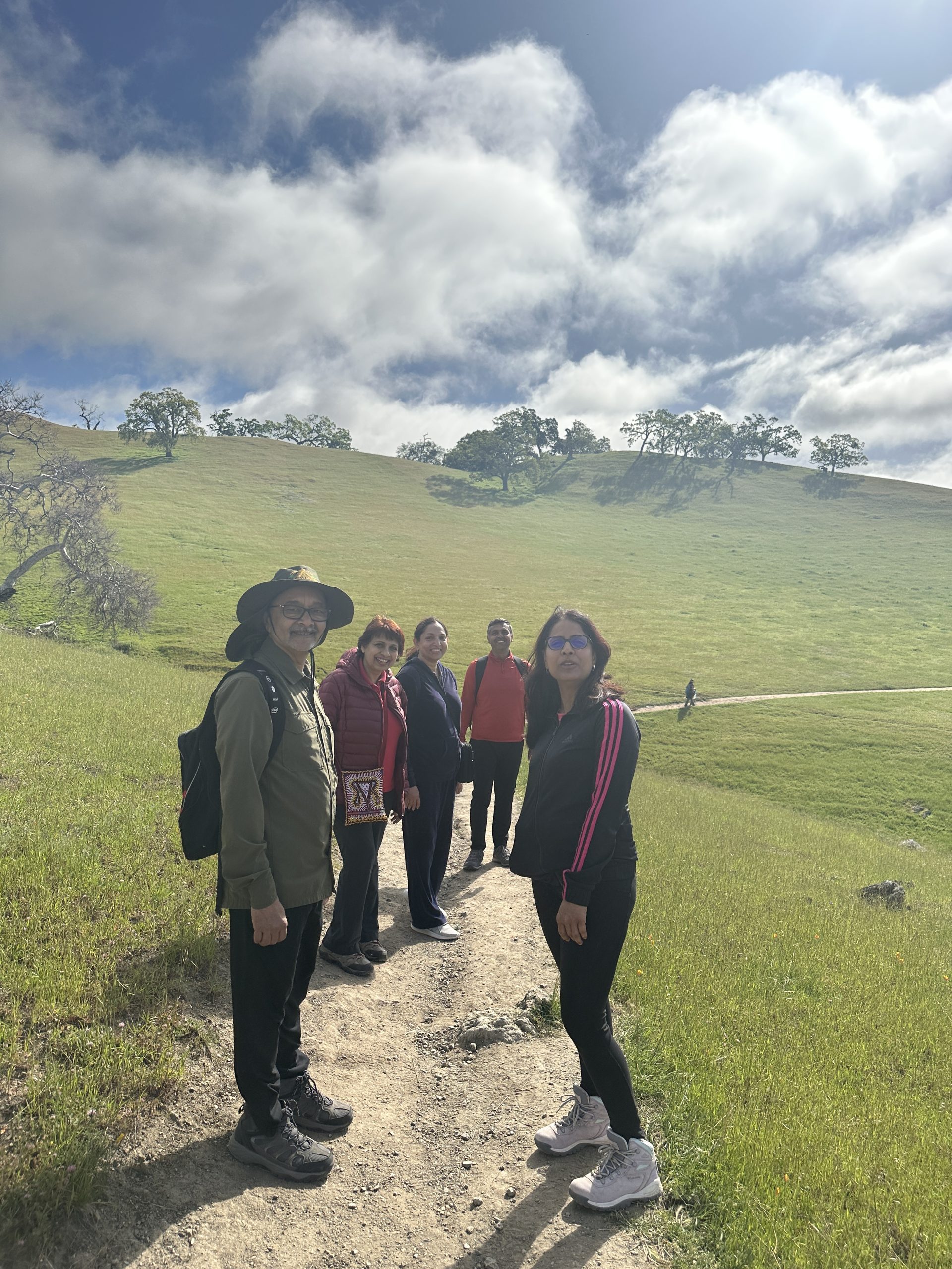
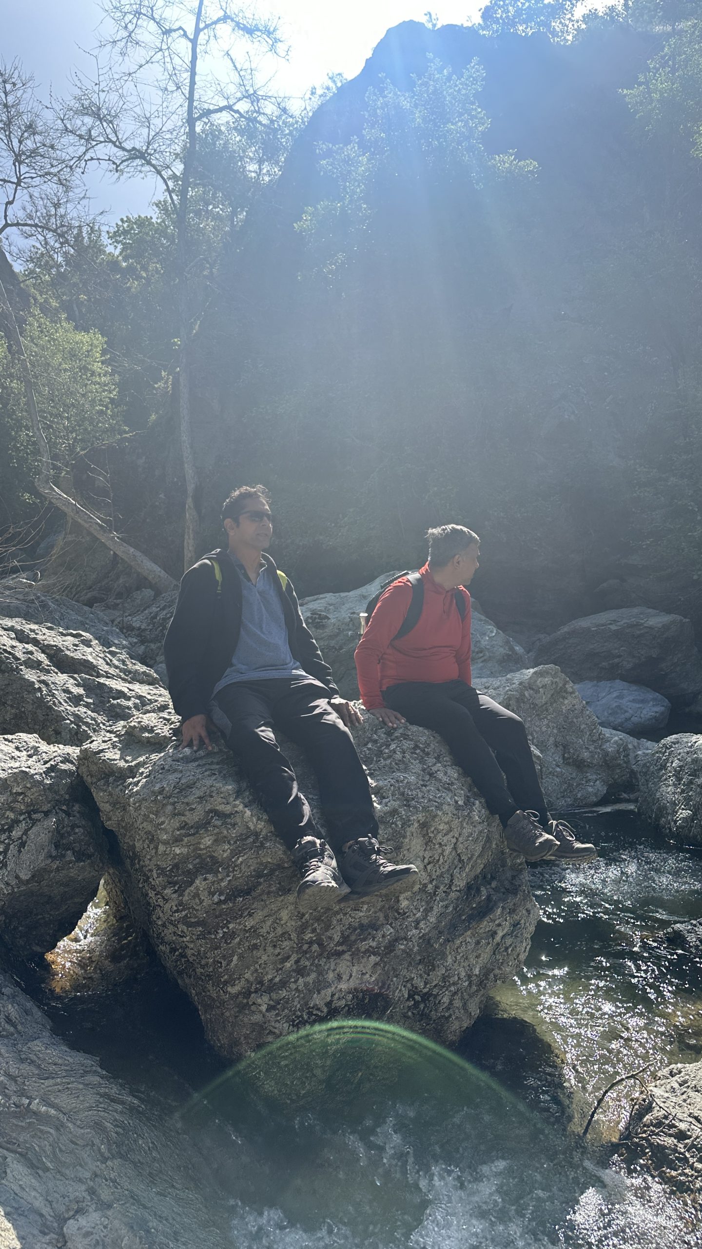
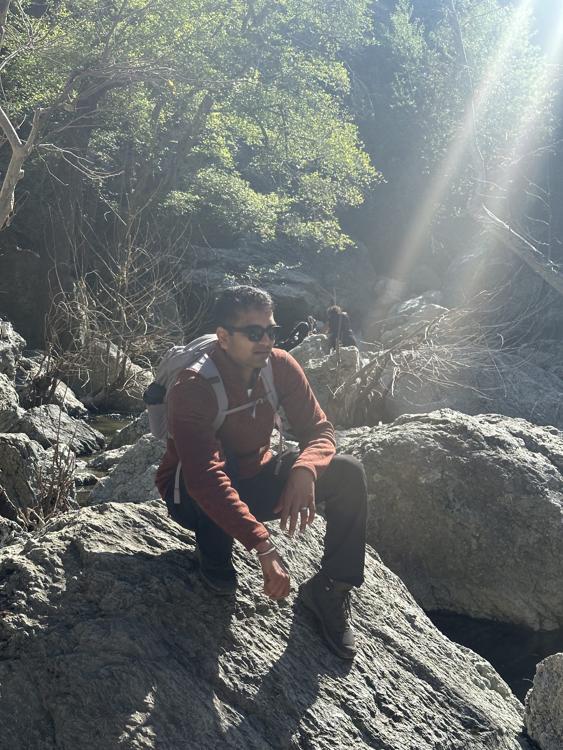
This is a hidden gem located in the East Bay area of California, located in Sunol Regional Wilderness. We went on this hike with the IIM Bay community folks and it was a pleasant hike with beautiful views of the rolling green hills. The trail is a moderate 4.6-mile round-trip hike that takes hikers through scenic hills and valleys, alongside a babbling creek, and up a steep incline to a stunning waterfall, known as Little Yosemite.
The waterfall is a stunning sight to behold, cascading down a rocky cliff and into a pool of water below. We could just sit on the rocks and enjoy the refreshing mist and clicked plenty of pictures. Ensure you wear proper hiking boots as the climb can be bit tricky.
The Little Yosemite Trail is a great option for hikers of all skill levels, with a well-maintained trail and a moderate incline that is accessible for most visitors.
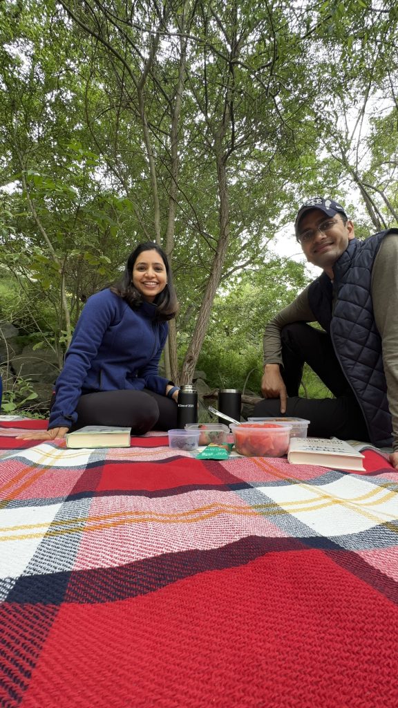
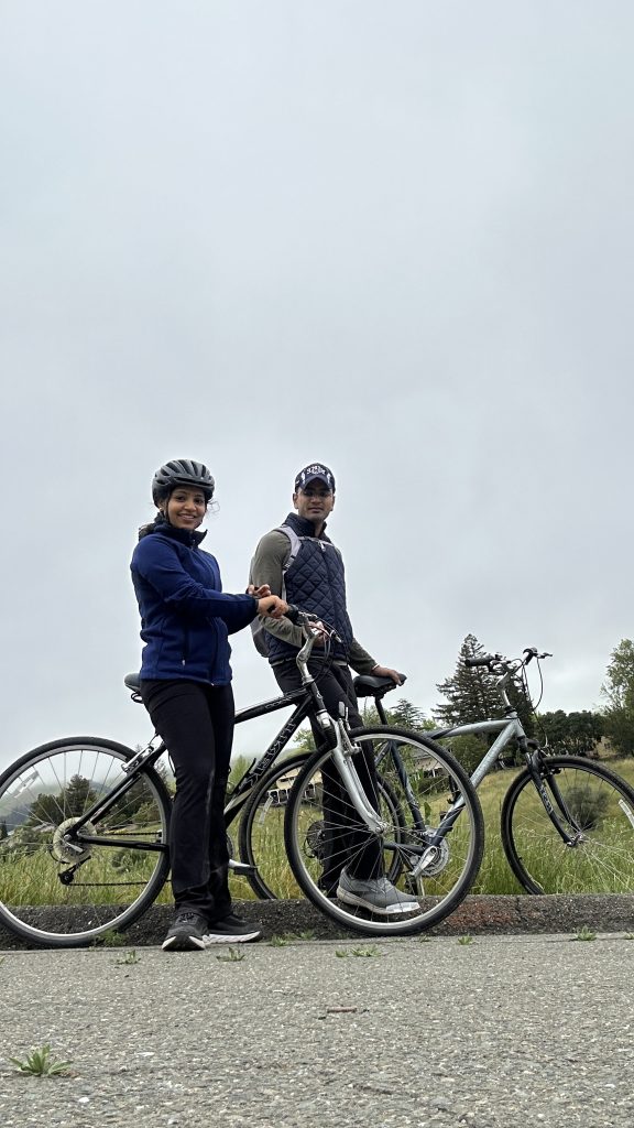
- Sabercat Creek Trail (Easy)
This is suitable for both hiking and biking enthusiasts in Fremont, California. This scenic trail is approximately 2.5 miles long and winds through lush greenery and natural habitats along the Sabercat Creek. Along the way there is a creek and you would spot rabbits, squirrels, and various bird species. If you are in the easy bay and looking for absorbing some white noise this is the place to go. We packed our picnic blanket, fruits, juices and books to spend a good afternoon here.